Name/Title
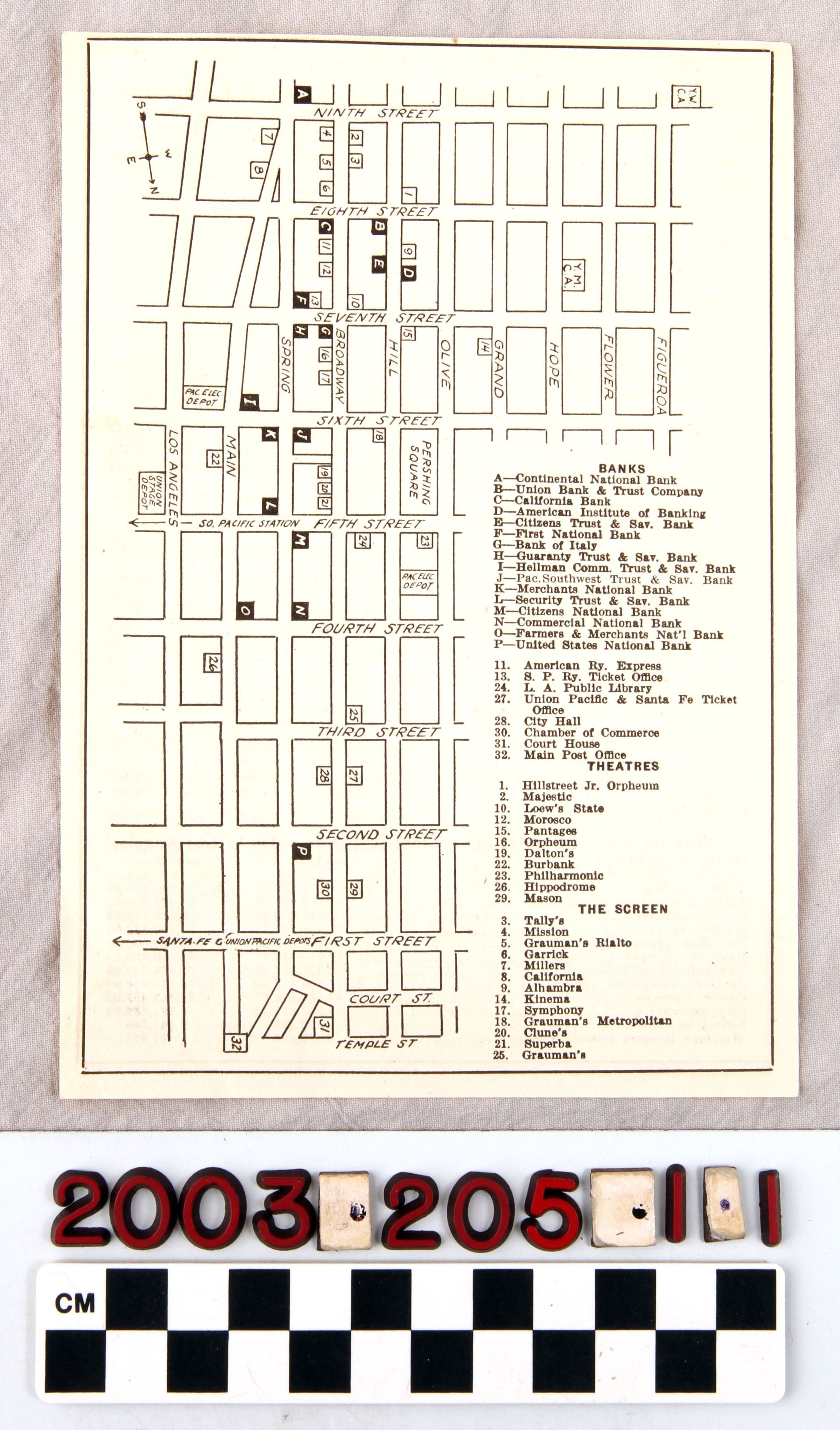
LOS ANGELES BUSINESS DISTRICT, 1923Entry/Object ID
2003.205.1.1Description
Color: Black; White
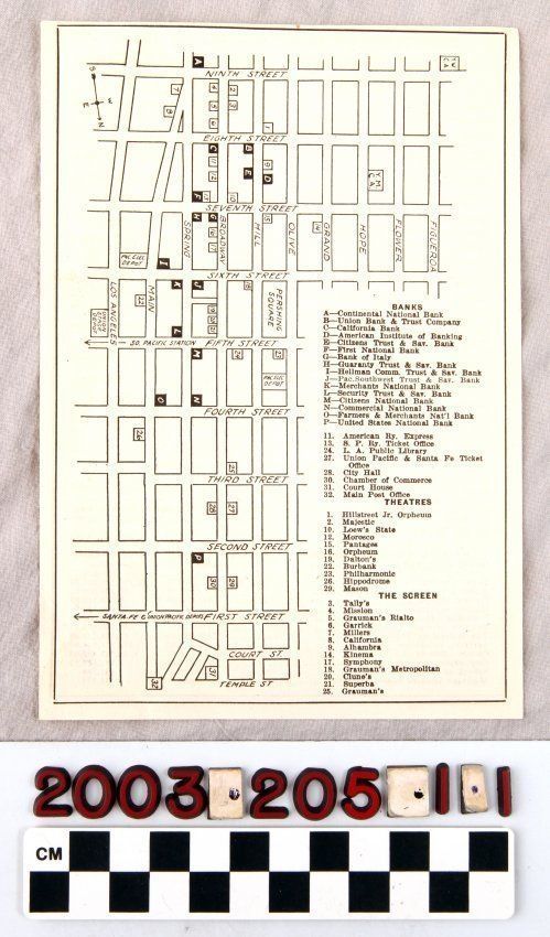
A map of a section of the downtown Los Angeles business district, 1923. The map shows the area bounded by, at the top, Ninth Street, at the bottom, Temple Street, at the left, Los Angele sStreet, and, at the right, Figueroa Street. Fourty-eight sites are denoted by numbers (thirty-two locations) for live and film theaters and the rest (sixteen sites) being banks. Other locales identified include the Y. W. C. A. and Y. M. C. A., Pershing Square, the Pacific Electric Railway depots, the Union Stage depot, and indicators to the Southern Pacific Railroad and the Santa Fe and Union Pacific depots. The legend for the banks and theaters is at the lower right. On the reverse is a chart giving city names in the greater southern California area, their altitude, distance from Los Angeles and 1920 population. At the bottom are comparative figures from 1920 and 1921 for population, financial information, and other statistics. With light corner creases, minor yellowing, and a small tear near the bottom left corner, the condition is good.Lexicon
Search Terms
Two-dimensional, Maps, Downtown business districts--Los Angeles (Calif.), Streets--Los Angeles (Calif.), Businesses--Los Angeles (Calif.)