Name/Title
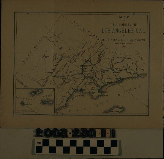
LOS ANGELES COUNTY MAP, 1887Entry/Object ID
2003.230.1.1Description
Color: Black; White
A map of Los Angeles County by H. J. Stevenson, 1887. The map has the title, date, and surveyor's name in a box at the upper right corner. An inset at the bottom left shows the three Channel Islands within the county at that time, including Santa Barbara, Santa Catalina, and San Clemente. The general map has the county layout in an unusual orientation, not the normal north-south view, but rather west-east. Features include township divisions; cities, towns, and communities; rivers and creeks; islands; harbors; lakes; bays; and others. The map was disbound from the 1888 book, "California of the South," of which see 2003.215.1.1. With original folds; light creases; yellowing; slight losses from removal; a stain at the bottom left corner; and small edge tears, the overall condition is good.Lexicon
Search Terms
Two-dimensional, Maps, Maps--Los Angeles County (Calif.)