Name/Title
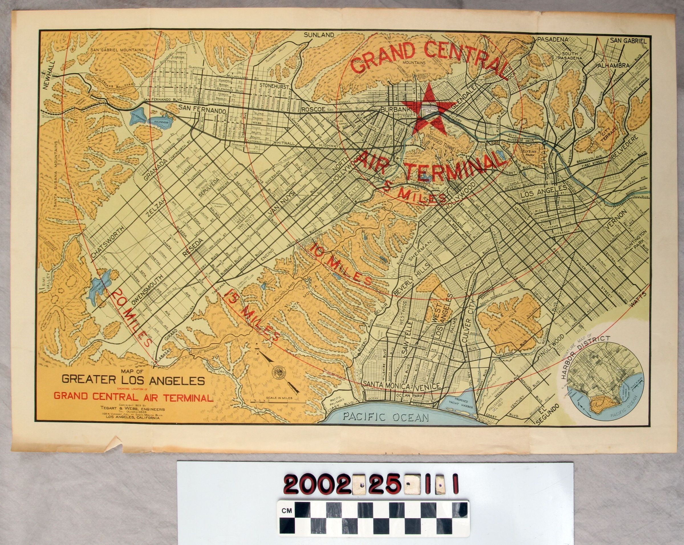
LOS ANGELES GRAND CENTRAL AIR TERMINAL MAPEntry/Object ID
2002.25.1.1Description
Color: Black; Green; Red; White; Yellow
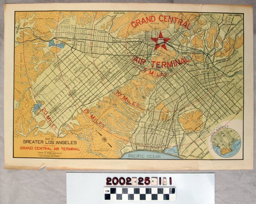
A map highlighting the location of the Los Angeles Grand Central Air Terminal, 1929. This identification near the top right corner of the map, is marked by a red star. The star is bordered by a red circle with the words "GRAND CENTRAL / AIR TERMINAL / 5 MILES." The area within the circle includes Burbank, Glendale, mountains, and Griffith Park. Three more circles, each representing increments of five miles from the terminal, are throughout the rest of the map. The Santa Monica Mountains border the far left of the map. At the bottom are Santa Monica, Venice, and the Pacific Ocean. At the far right from top to bottom are parts of San Gabriel, Alhambra, Vernon, and Watts. From left to right, across the top, are the San Gabriel Mountains and part of Pasadena. A miniature map of the Harbor District is within a circle at the bottom right corner. At the left corner is "MAP OF / GREATER LOS ANGELES / SHOWING LOCATION OF / GRAND CENTRAL AIR TERMINAL." Below this is the name of Tegart & Webb, Engineers, as well as their address and phone number. The artifact is in good condition with acid burns on the back; light creases at the corners; some darkening of the paper; light soiling; folds down the center; and small tears at the folds.Lexicon
Search Terms
Three-dimensional, Maps, Tegart & Webb, Engineers, Terminals (Transportation)--Los Angeles County (Calif.), Airport terminals--Los Angeles County (Calif.), Harbors--Los Angeles (Calif.), Cities and towns--Los Angeles County (Calif.), Maps--Los Angeles County (Calif.)