Name/Title
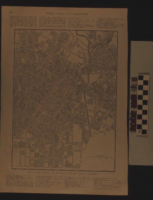
LOS ANGELES MAP FROM ATLASEntry/Object ID
2002.188.1.1Description
Color: Black; White
A map of downtown Los Angeles from a page of the "World Atlas and Gazetteer," 1910. The image, done by L. L. Poates Engraving Company, shows the area bounded by Elysian Park and surrounding neighborhoods on the north, sections of Boyle Heights on the east, Slauson Avenue on the southand just west of Vermont Avenue on the west. Streets and their names, the Los Angeles River, neighborhood names, parks, and railroad depots are noted. At the bottom right is a scale of miles to the scale of one mile for every two inches. With creases, yellowing, a few small stains, and small tears at the left edge, the overall condition is good.Lexicon
Search Terms
Two-dimensional, Maps, L. L. Poates Engraving Company, Los Angeles (Calif.)