Name/Title
Los Angeles Municipal Airport blueprintEntry/Object ID
2011.105.1.1Description
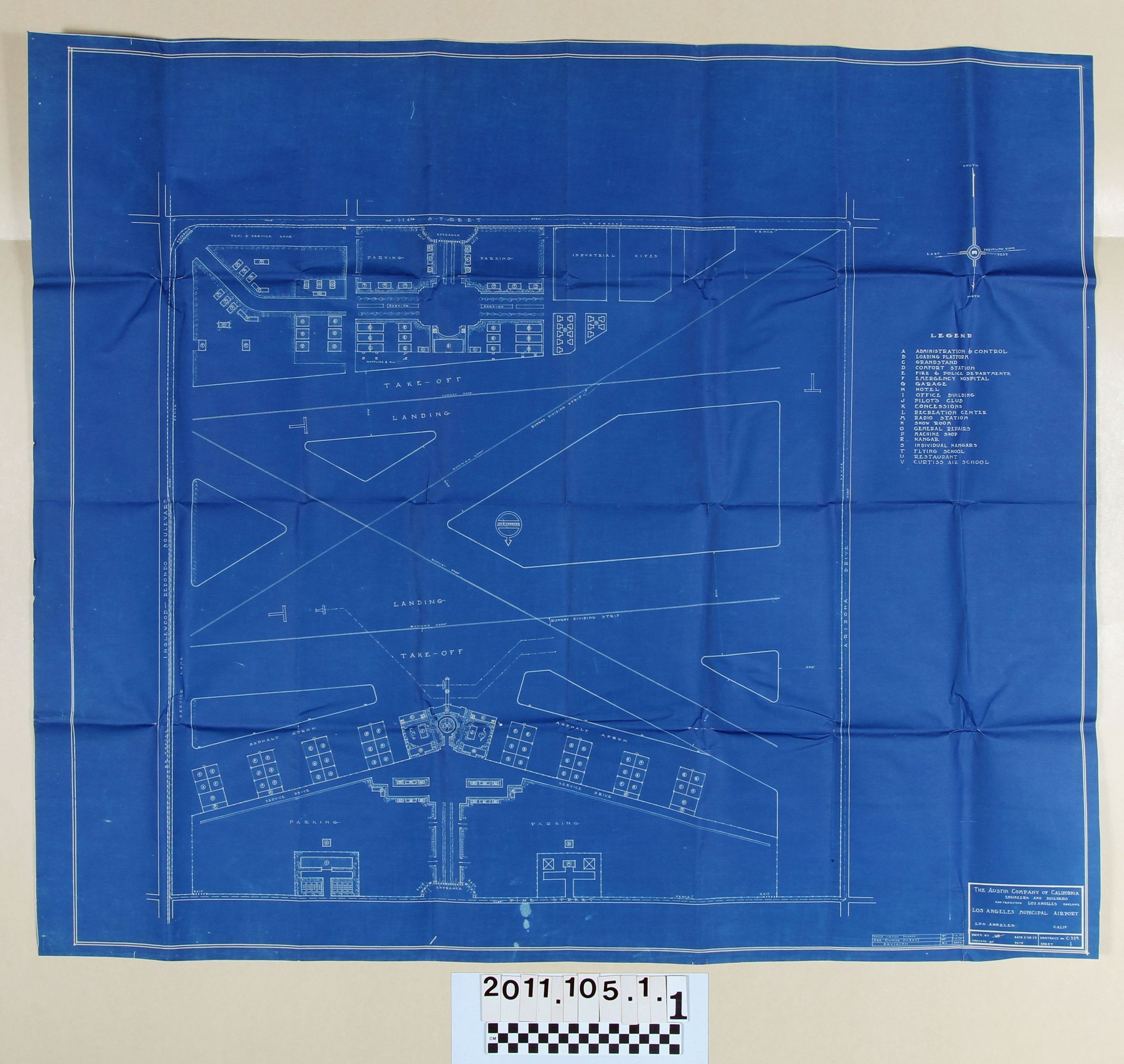
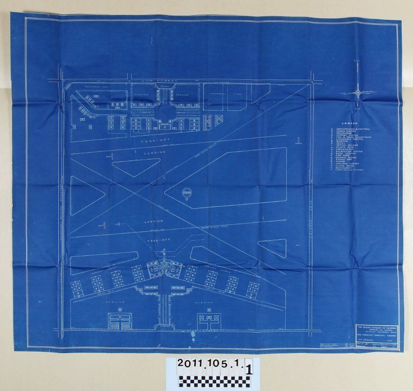
A blueprint of Los Angeles Municipal Airport by The Austin Company of California, 28 January 1929. The plan shows runways, structures, parking areas, industrial sites and other elements for what was largely constructed on the former Mines Field and on what is now known as Los Angeles International Airport. A legend at the right, below a compass which indicates south toward the top and north toward the bottom, identifies by letter the main components. Bounding the facility were "Inglewood-Redondo Boulevard," now Aviation Boulevard, on the east; 114th Street, now Imperial Highway to the south; Arizona Drive, now Sepulveda Boulevard, to the west; and Pine Street, probably Century Boulevard to the north. Aside from original folds, some creases, and some light browning, the condition is good.