Name/Title
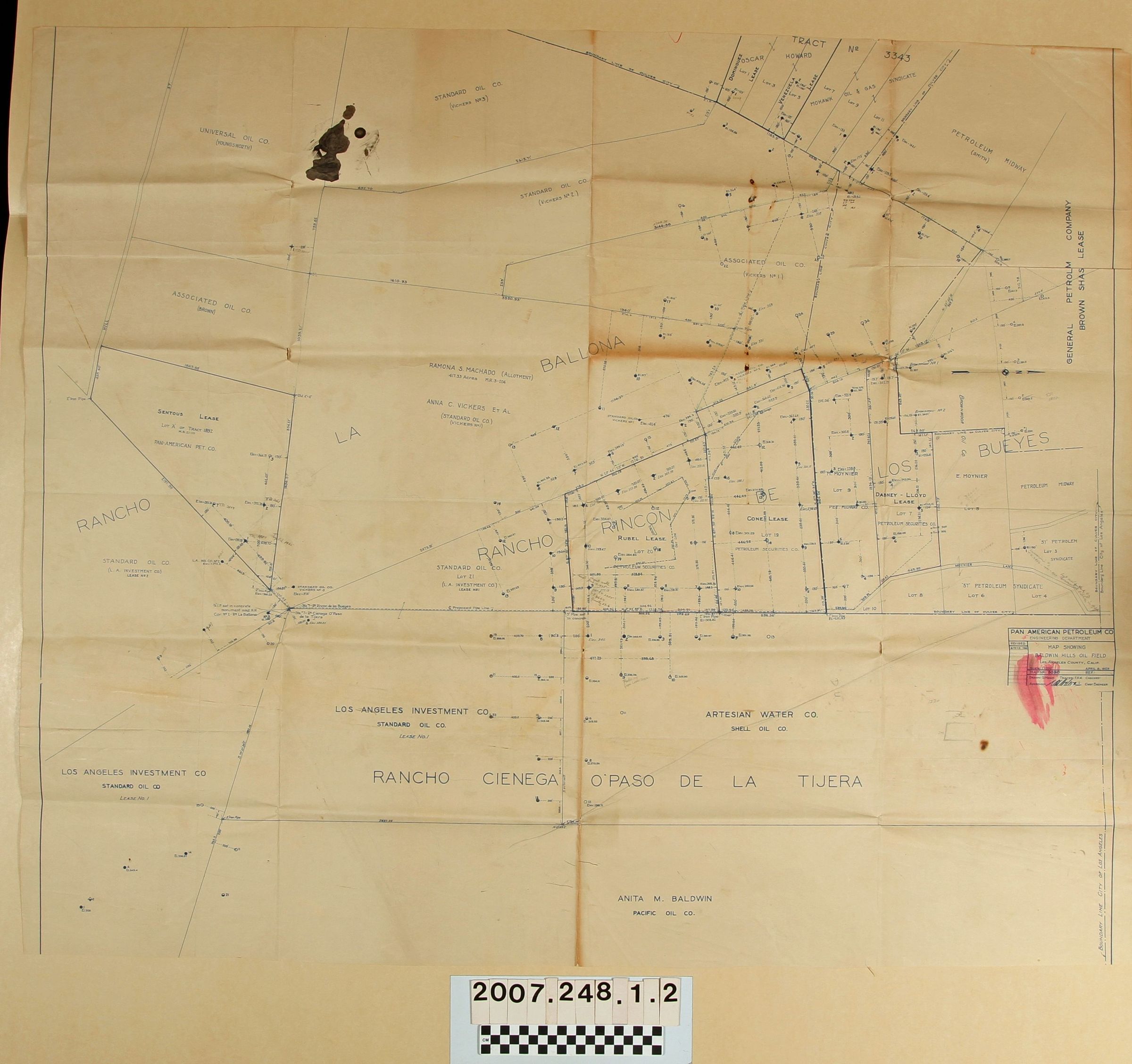
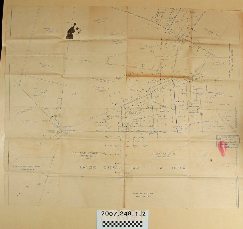
Map 5090 of the Baldwin Hills oil fieldEntry/Object ID
2007.248.1.2Description
Map 5090 of the Baldwin Hills oil field by the Engineering Department of Pan American Petroleum Company, 8 May 1925, revised to 12 June 1925. The map covers areas now part of Culver City and unincorporated Baldwin Hills area. Various tracts leased by oil companies are shown with oil company names, surnames of landowners, and numbered well sites. There are also city boundaries, historic rancho names, streets, and other landmarks. With many folds, some small tears, fairly heavy soiling, two large ink stains and and creases, the condition is poor.Lexicon
Search Terms
Pan American Oil Company. Engineering Department, Baldwin Hills oil field