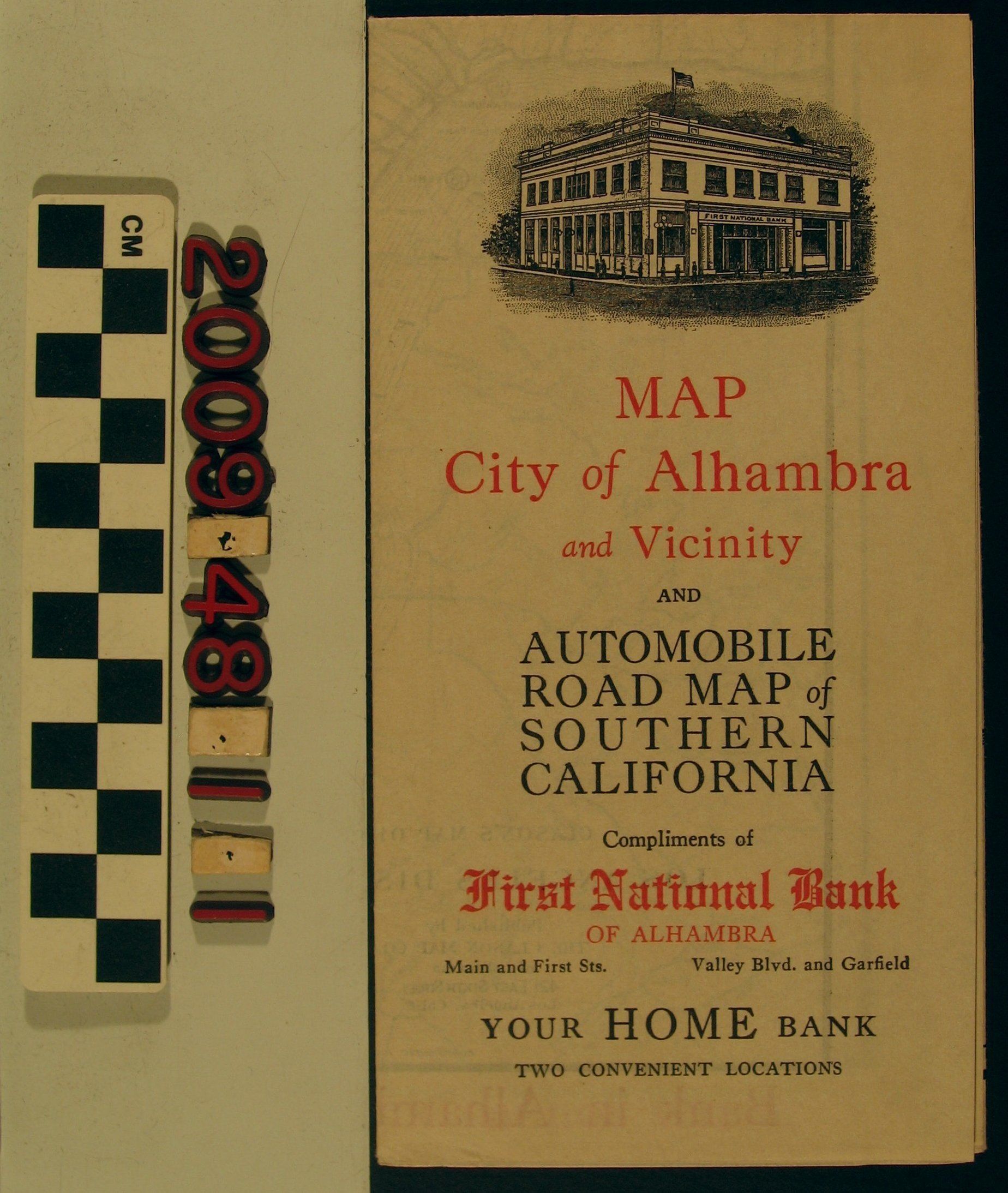
"Map, City of Alhambra and Vicinity," issued by First National Bank of Alhambra, 1927. When opened the map shows the city of Alhambra, as well as parts of Monterey Park, Rosemead, San Gabriel, San Marino, South Pasadena and a sliver of Temple [Temple City.] On the reverse is a map of the greater Los Angeles region from the Grapevine to San Juan Capistrano and the coast to Big Bear and near Palm Springs. With some very light soiling and edge rubbing, the condition is good.
Lexicon
Search Terms
California. Department of Public Health. Bureau of Child Hygiene, United States. Department of Labor. Children's Bureau.