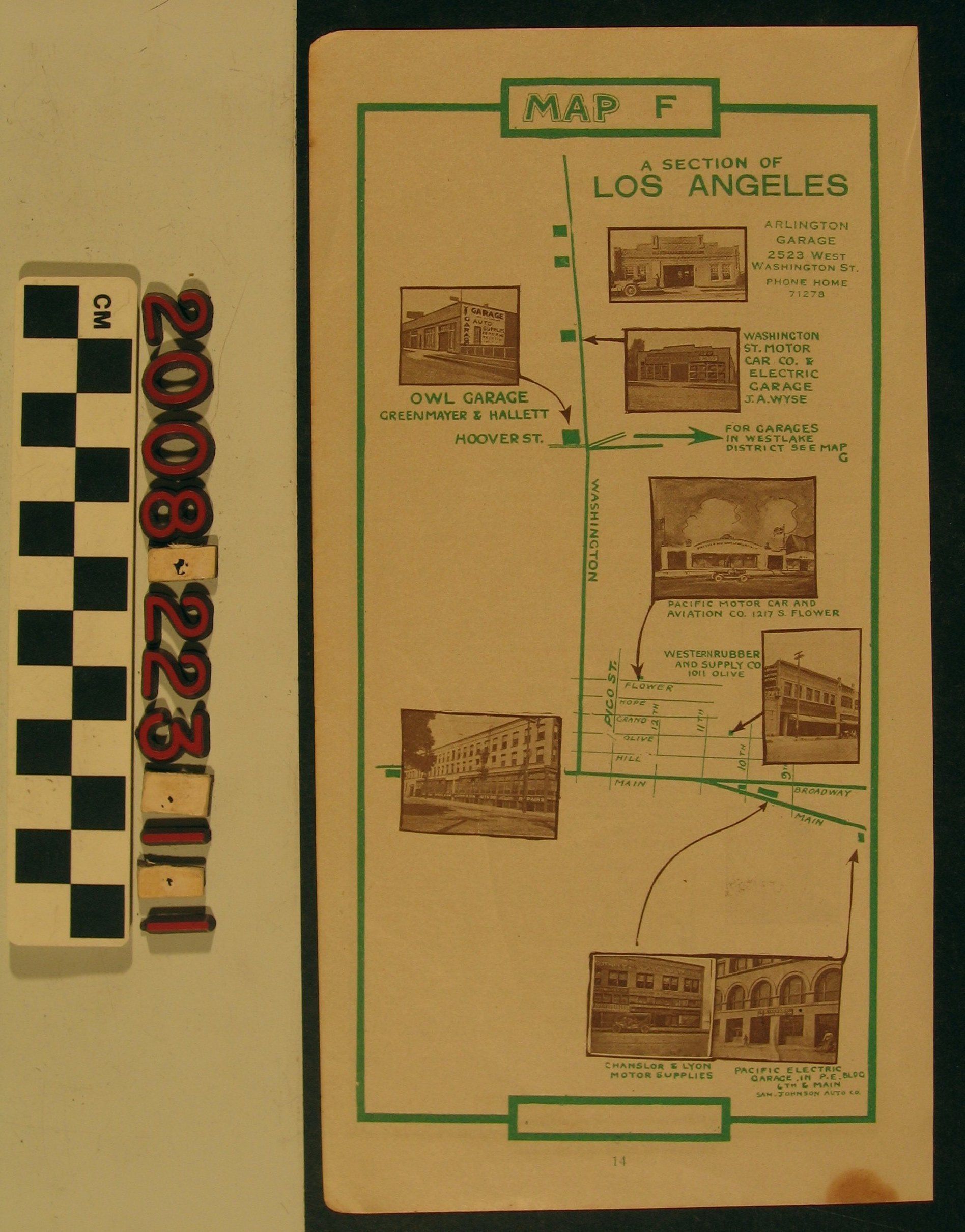
"Map F, A Section of Los Angeles," ca. 1918. The item, paginated as number 14, shows a route from the Pacific Electric Railway garage at Main and Sixth streets to west Washington Boulevard. Photograph illustrations of businesses connected to the automotive industry are present as are some of the downtown streets. The reverse, which reads as "Map E" and is page 13, is an instruction guide to using the maps contained within what may have been a folio. With some acid browning and creases, the overall condition is good.
Lexicon
Search Terms
California. Department of Public Health. Bureau of Child Hygiene, United States. Department of Labor. Children's Bureau.