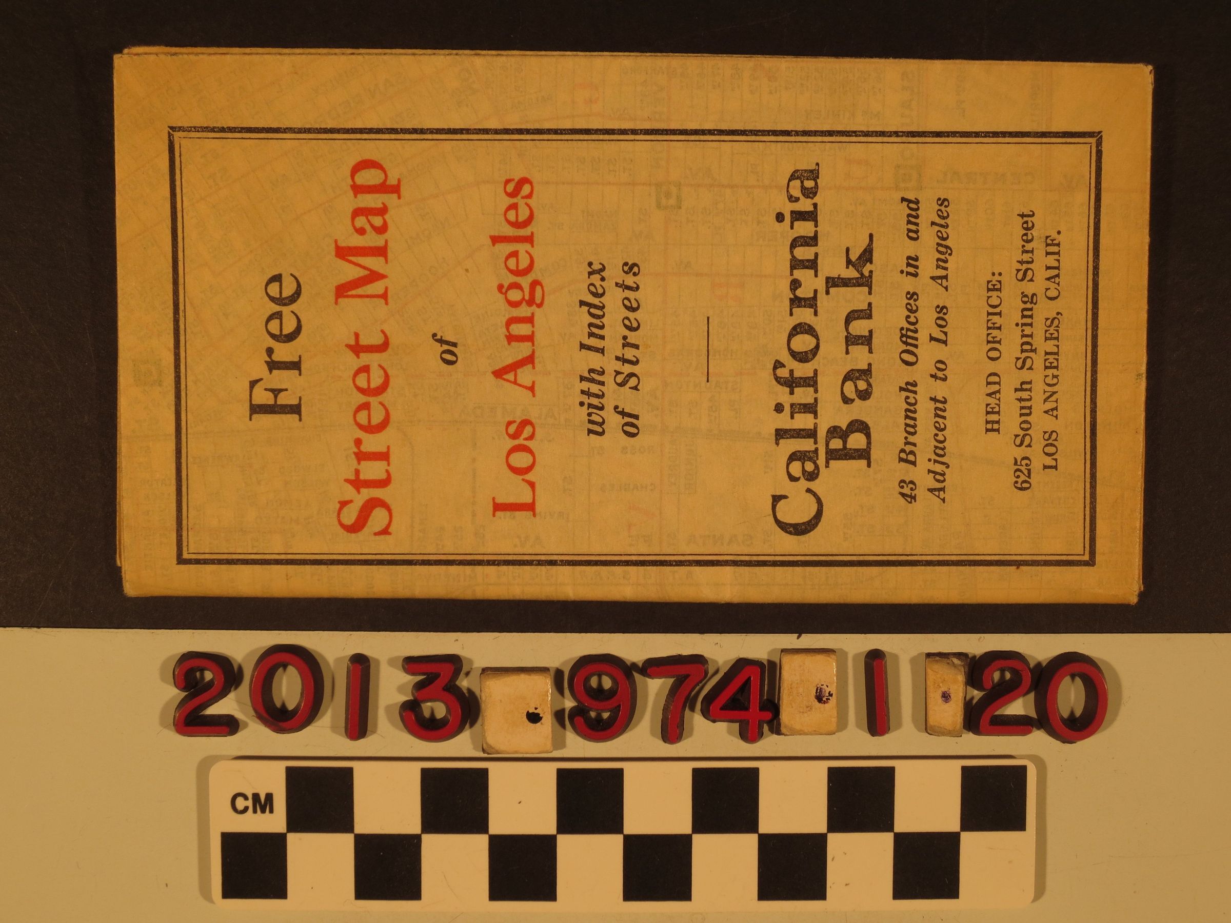
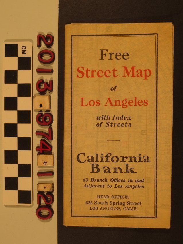
Map, Los Angeles, ca. 1925
Street map of Los Angeles with street index published by F.A. Stearns, on behalf of California Bank, distributed for free. Includes locations of bank branches throughout Los Angeles. Northern most part of map shows Griffith Park and Glendale to the southern most area of Inglewood and Southgate. In good condition, minor tears at folds.