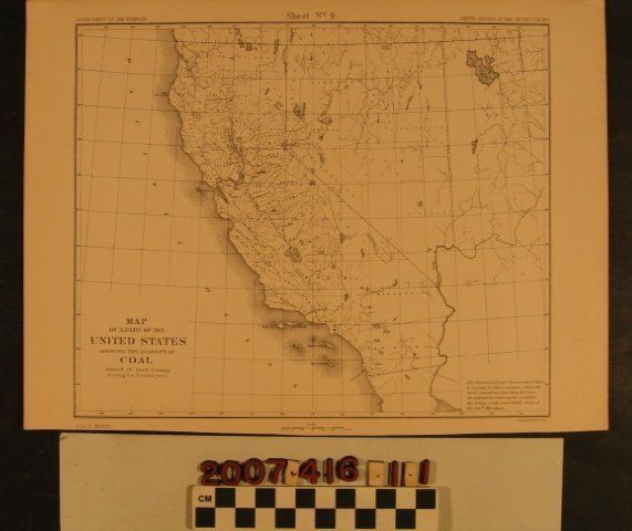
"Map of a Part of the United States Showing the Quantity of Coal Mines in Each County During the Census Year"
Entry/Object ID
2007.416.1.1
Description
"Map of a Part of the United States Showing the Quantity of Coal Mines in Each County During the Census Year," lithographed by Julius Bien and Company and published by the U. S. Department of the Interior, 1880. The item shows the states of California and Nevada with three areas indicated as coal producing regions, including Contra Costa, Sacramento, and Los Angeles counties. Numbers by the former indicate thousands of tons, but Los Angeles is less than 500. With a few creases and light browning, the item is in good condition.
Lexicon
Search Terms
Julius Bien and Company, United States. Department of the Interior.