Name/Title
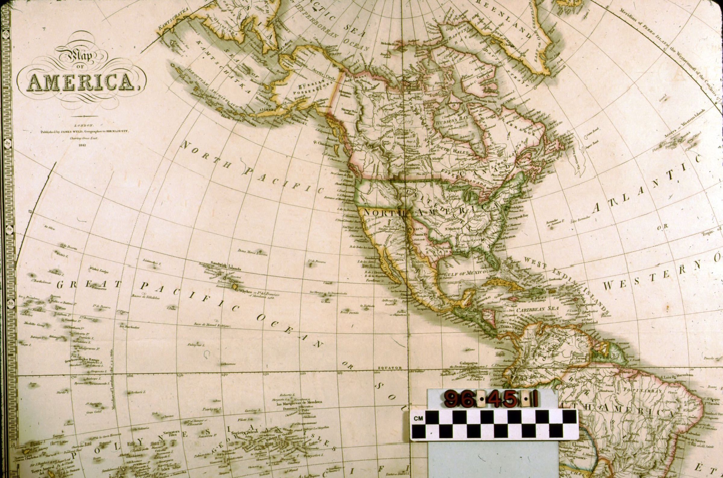
MAP OF AMERICAEntry/Object ID
96.45.1.1Description
Map--Map of America, 1841 by James Wyld. An oversize double-page copper-engraved map, from the book "New General Atlas of Modern Geography" by Wyld. The map shows the western hemisphere, including North and South America, the Sandwich (Hawaiian) Islands, Polynesia, and New Zealand. Countries are outlined with major cities, rivers, and mountains named. Some of countries shown on the map are outlined in color. The Pacific Ocean is divided into the "North Pacific" and the "Great Pacific Ocean or South Sea." Likewise, the Atlantic Ocean is divided into the "Atlantic or Western Ocean" and the "Ethiopic or Southern Ocean." The map has a "piano key" border and has creases down the horizontal and vertical axes revealing that it was folded into quadrants at one time. The title appears in the top left corner. "Map of America, Published by James Wyld, Geographer for Her Majesty, Charring Cross East, 1841." appears in the top left corner.Lexicon
Search Terms
DOCUMENTARY ARTIFACT, Maps, Geography--United States