Name/Title
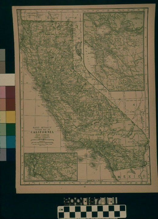
MAP OF CALIFORNIA, 1928Entry/Object ID
2001.187.1.1Description
Color: Black; Green; White
A map of California, published by Rand, McNally & Co., ca. 1928. The item appears to be a plate from a book. The border has coordinates for references to locations, although the list of these locations is not with the map. The state divisions into counties are marked by dotted lines for boundaries and the entire state is in a green color. County names are also in capital letters, while cities and towns are in small caps with circles to indicate locations. Railroad lines with abbreviations for company names that plied the lines are throughout. Natural features, such as mountains, rivers, and lakes, are also indicated. Coastal areas and islands have rows of lines next to and around them, respectively, to indicate the proximity to water. There are two insets, including part of central California at the upper right, and southern California, at the lower left. Portions of Baja California, Arizona, Nevada, and Oregon are shown on the fringes, as well as the Pacific Ocean. At the lower left, above the inset for southern California, are the scales for the main map, with scales also provided for the insets. Aside from minor creases at the corners and very light discoloration at the edges, the document is in good condition.Lexicon
Search Terms
Two-dimensional, Maps, Rand, McNally and Company, California