Name/Title
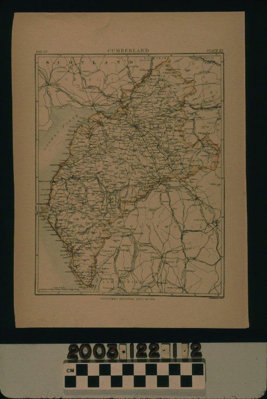
MAP OF CUMBERLAND COUNTY, ENGLANDEntry/Object ID
2003.122.1.2Description
Color: Blue; Red; Yellow; White
A map of Cumberland County, England, ca. 1885. A plate from the ninth edition of the Encyclopaedia Britannica, the map is colored with yellow serving as the boundary color, red being an indicator of rivers, and blue being for bodies of water. Major features include lakes; rivers; mountains; roads; railroad lines; cities, towns, and villages; Roman roads, walls, and ruins; fells; commons; moors; and other features. Cumberland and adjacent Westmorland County (see item 1.1) now comprise the modern county of Cumbria and the birthplace of William Workman, Temple Sowerby, and the town where he spent most of his youth, Clifton, are showsn just outside the Cumberland boundary at the southeasern section. With light creasing, page browning, stains, and a tear at the top edge, the overall condition is good.Lexicon
Search Terms
Two-dimensional, Maps, Cumberland County (England)