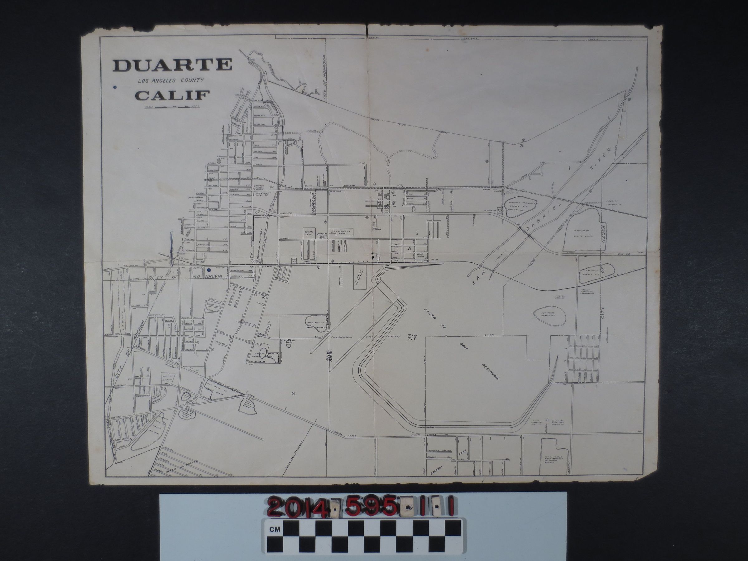
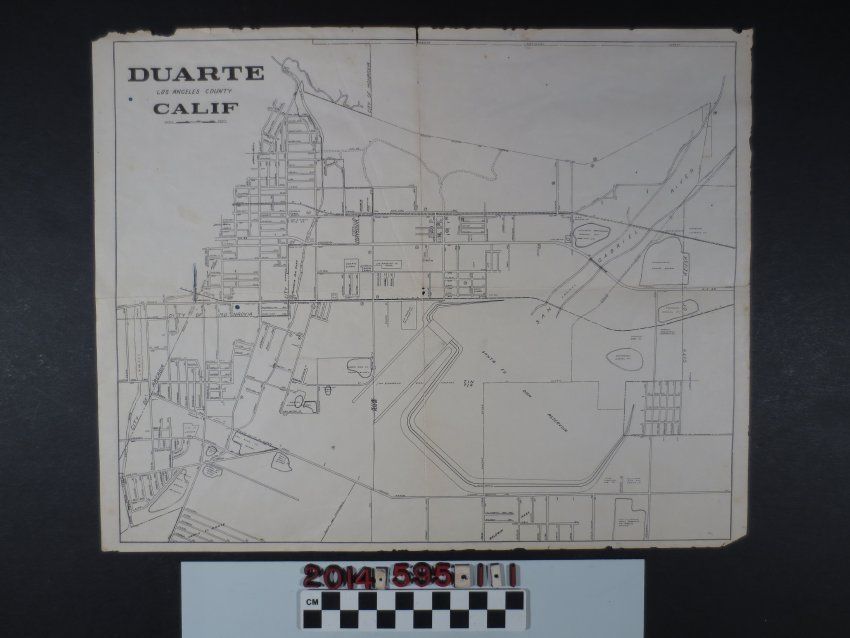
Map of Duarte, California, ca. 1910. A simple lined map depicting the City of Monrovia to the Northwest, City of Arcadia to the West, San Gabriel River to the East (feeding into the Santa Fe Dam Reservoir below), and Baldwin Park to the South. Within these areas are the following: Los Angeles Sanatorium, Arrow Rock Co., Rancho Azusa of Duarte and several rock and gravel quarries. The map is in fair condition with minor loss around the edges and at the center fold.