Name/Title
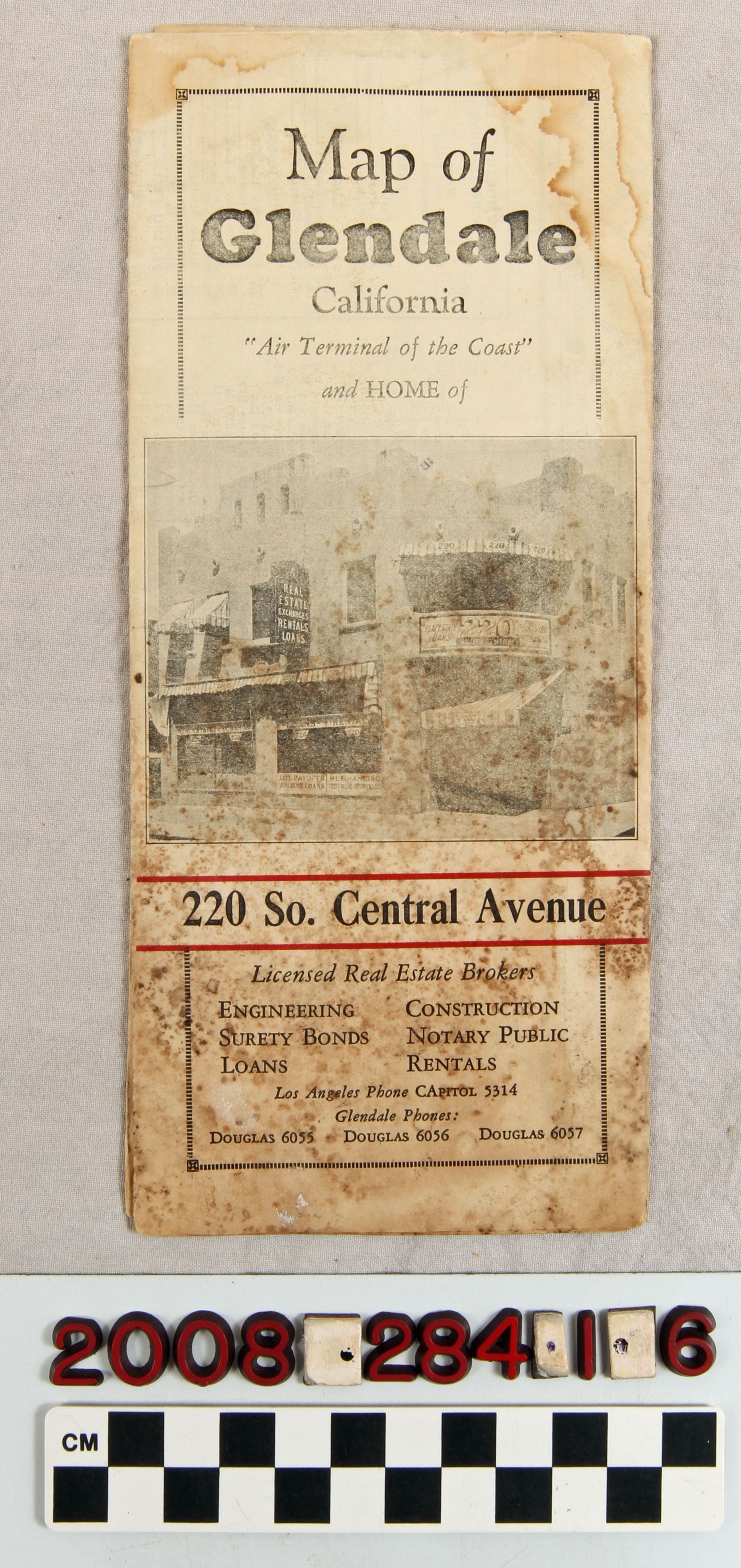
"Map of Glendale, California"Entry/Object ID
2008.284.1.6Description
"Map of Glendale, California," issued by the Glendale Chamber of Commerce, 1929. When unfolded, there is a map of the city including the northern section near Montrose and Verdugo Woodlands, the northwestern area next to Burbank and the southern section bordering Los Angeles. A street index, and list of public places, churches, firehouses and the like are also on this side. Three panels show the city's immense growth, bank clearings, postal receipts, building permits, and school enrollment; other booster information; a list of service club and luncheon meetings; a Chamber of Commerce statement; and a regional map showing Glendale in the center. With heavy staining and soiling, some significant tears, creases, and other wear, the condition is poor.Lexicon
Search Terms
California. Department of Public Health. Bureau of Child Hygiene, United States. Department of Labor. Children's Bureau.