Name/Title
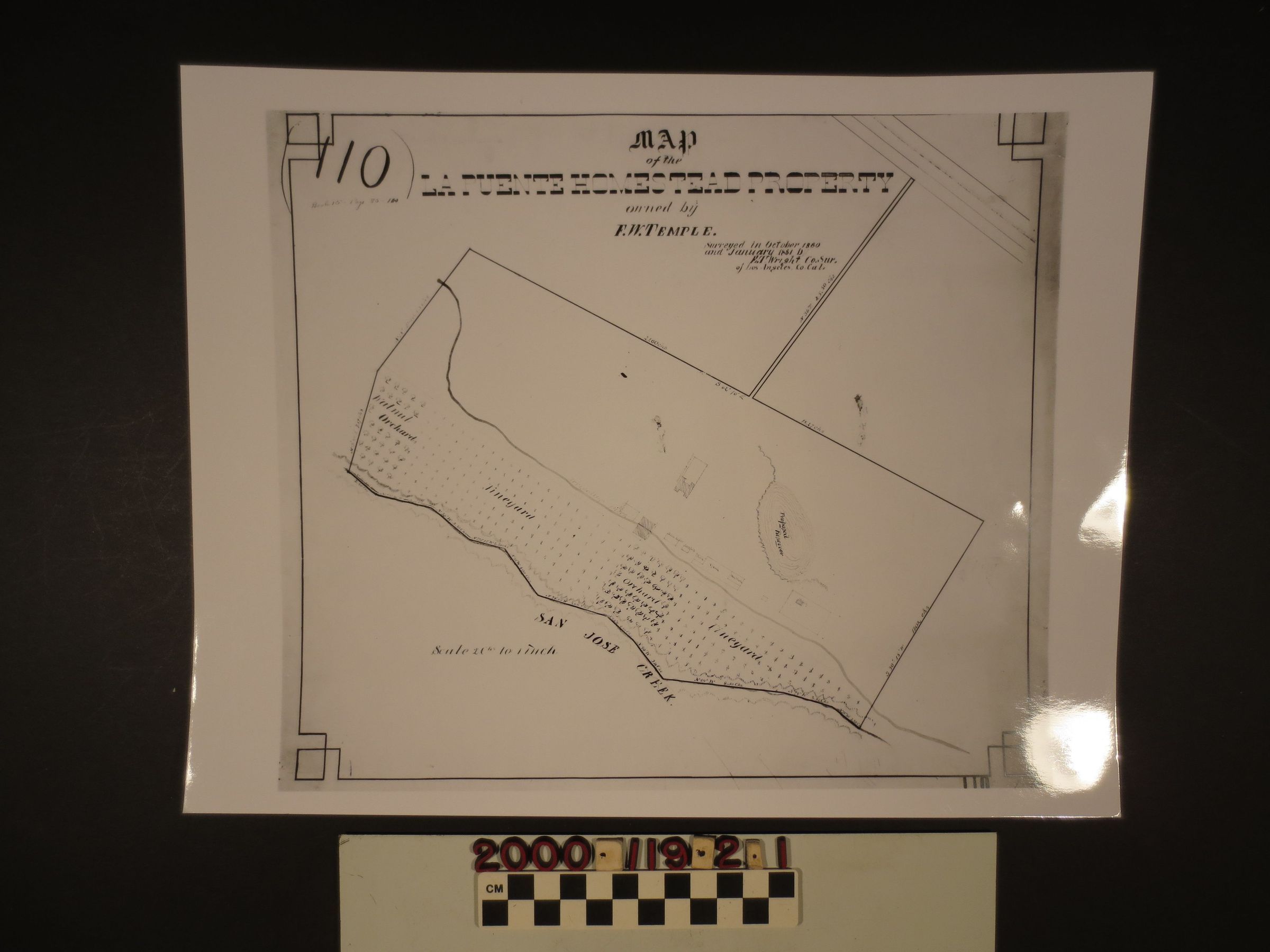
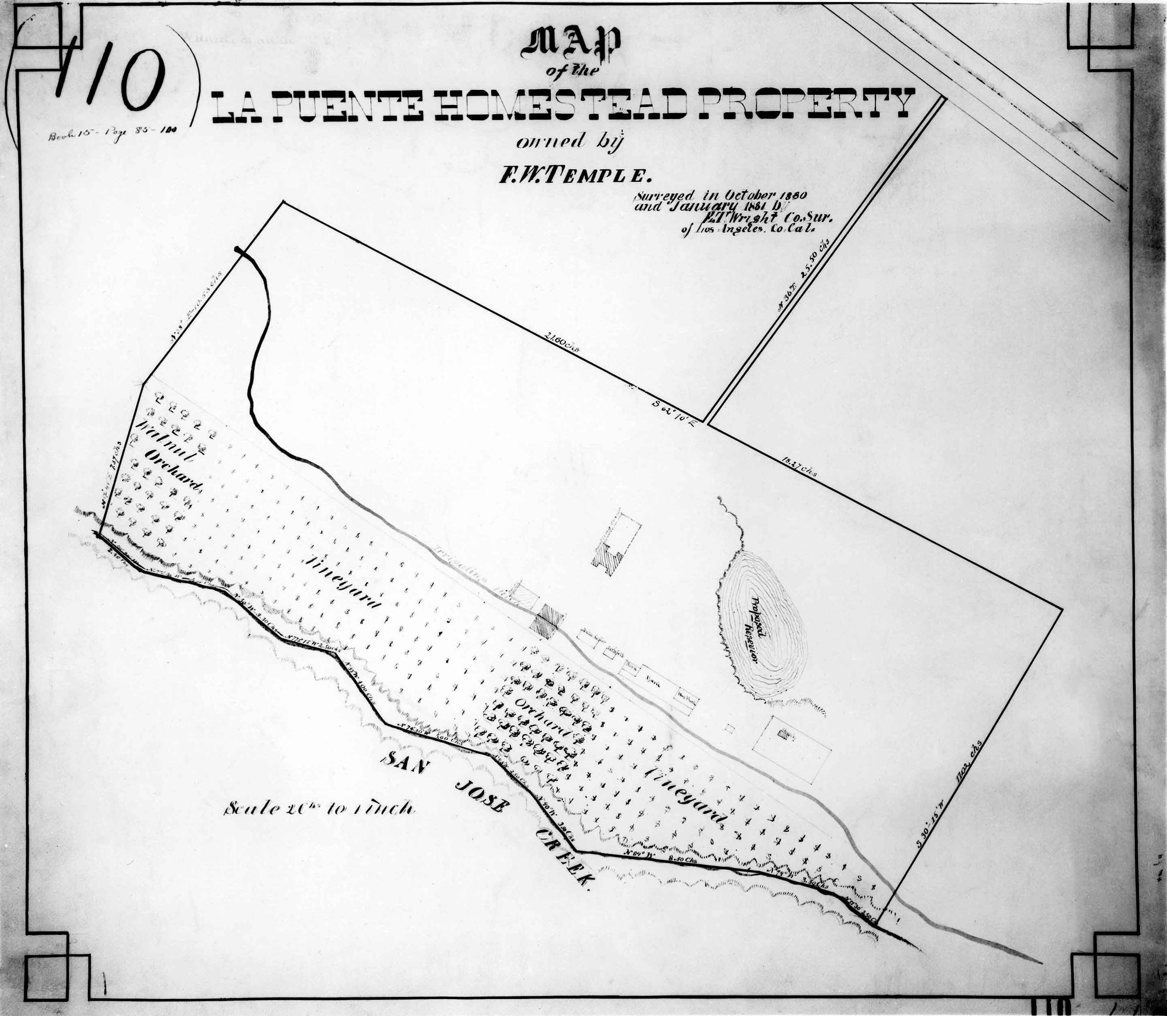
Map of La Puente Homestead property. 1880Entry/Object ID
2000.119.2.1Description
Map of La Puente Homestead property, 1880. A photograph of a map for La Puente Homestead, which was surveyed in October 1880 and January 1881 by E.T. Wright Co. of Los Angeles Co. Cal. and commissioned by F.W. (Francis Workman) Temple. This map is a scale of 20th to inch. and shows the Workman house, cemetery, church, barn, hay shed, corn crib, wine celler, two other buildings, vineyards, orchards, proposed reservoir, irrigation ditch, and San Jose Creek. These maps have been reproduced from the original in the Huntington Library. The object is in good overall condition.Lexicon
Nomenclature 4.0
Nomenclature Secondary Object Term
MapNomenclature Primary Object Term
CartographNomenclature Sub-Class
Graphic DocumentsNomenclature Class
Documentary ObjectsNomenclature Category
Category 08: Communication Objects