Name/Title
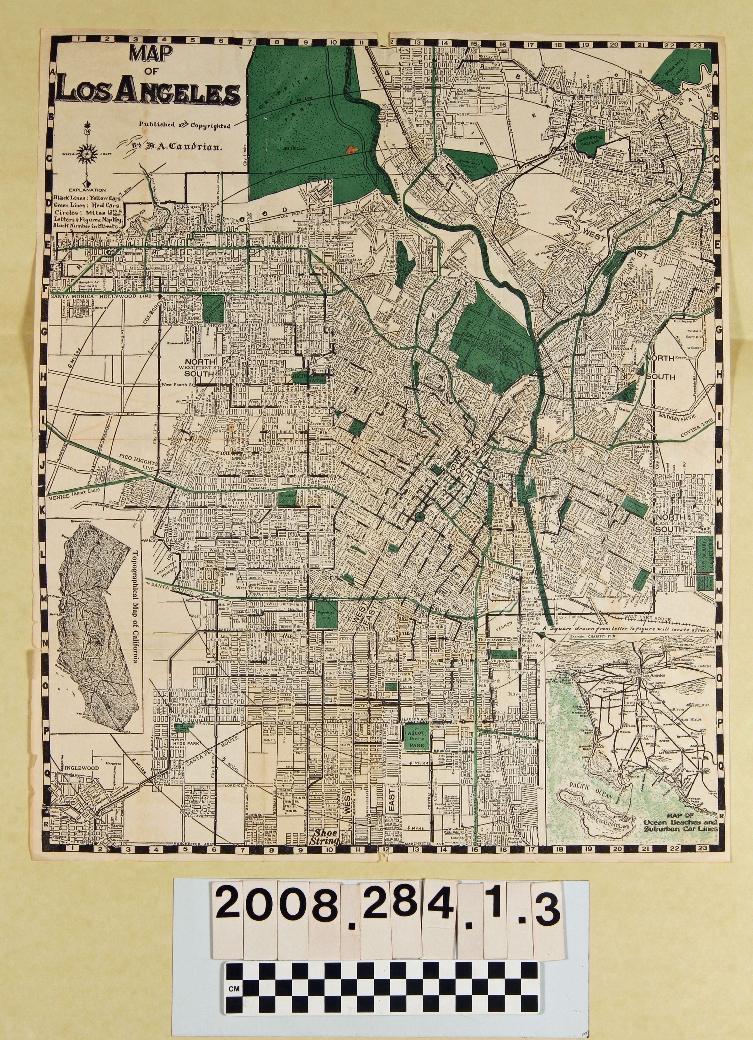
"Map of Los Angeles"Entry/Object ID
2008.284.1.3Description
"Map of Los Angeles," by H. A. Candrian, 1924. The item shows the city from Hollywood and Inglewood on the west to Garvanza and East Los Angeles on the east and from Griffith Park on the north to the Shoestring in South Los Angeles on the south. Inset maps show ocean areas and suburban street car lines and a topographical map of California. Black lines show Yellow Car routes and green lines show the Red Car routes. There are many taped areas along folds, small edge tears, soiling and a few stains, so the condition is overall fair.Lexicon
Search Terms
California. Department of Public Health. Bureau of Child Hygiene, United States. Department of Labor. Children's Bureau.