Name/Title
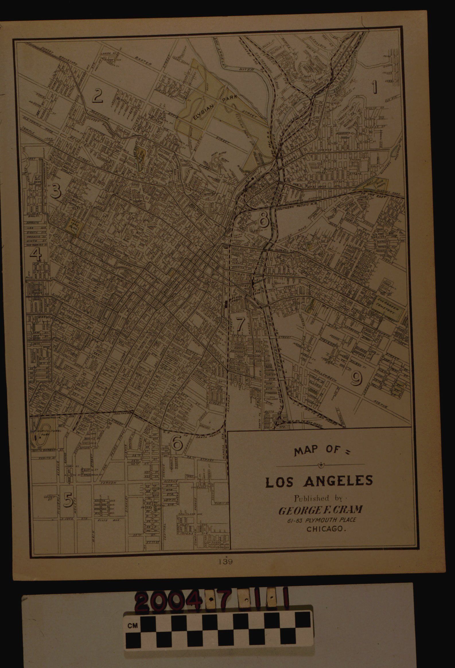
"MAP OF LOS ANGELES," 1898Entry/Object ID
2004.7.1.1Description
Color: Black; White
"Map of Los Angeles," published by George F. Cram, Chicago, 1898. The map shows the city from Elysian Park and Atwater Village on the north to about 57th Street on the south and Hoover Street on the west to Evergreen Cemetery and East Aisde [now Lincoln] Park on the east. Streets with names; railroad lines; streetcar lines; the Los Angeles River in blue; city parks in green; railroad depots; Chinatown; and Evergreen Cemetery, also in green are notable features. There are also the numbers one through nine scattered throuhgout the map, but no indication of their significance. At the bottom right corner is the title and publisher's information. At the bottom center is the page number 139 from an atlas. The reverse is a map of portions of Oakland and Berkeley. With creased corners, darkening at the edge, light stains, and small tears at the bottom left corner, the overall condition is fair.Lexicon
Search Terms
Two-dimensional, Maps, Los Angeles (Calif.)