Name/Title
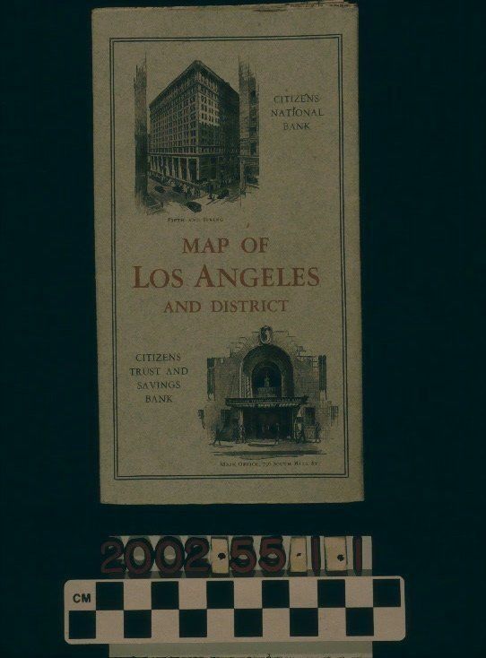
"MAP OF LOS ANGELES AND DISTRICT," 1927Entry/Object ID
2002.55.1.1Description
Color: Black; Red; White
"Map of Los Angeles and District," published and issued by Citizens National Company, Los Angeles, 1927. On the front cover is the title at the center in red. Above this is an image of the Citizens National Bank, located at the corner of Fifth and Spring streets, while below is the front entrance to the main office of Citizens trust and Savings Bank at 736 South Hill Street. On the back cover is the logo of the parent company, featuring a street scene with the Citizens National Bank building at the right. One side of the unfolded map shows the downtown Los Angeles area with streets, parks, hotels, cemeteries, and other landmarks identified. Red lines on certain streets indicate service lines of the Pacific Electric Railway and Los Angeles Railway streetcar systems. Letters in red also seem to indicate specific lines. Dotted red lines indicate bus lines. On the reverse is the index of streets and two detail maps, one of the "Bay District," meaning Santa Monica and Venice, and the other of Wilmington and San Pedro. At the upper left under the attached cover is an advertisement for the two Citizens banks. With very light soiling and yellowing, small pencil marks on one side, and a small stain at the top of the front cover, the artifact is in good condition.Lexicon
Search Terms
Three-dimensional, Maps, Citizens Trust and Savings Bank, Citizens National Bank, Citizens National Company, Tourist trade--Los Angeles (Calif.), Streets--Los Angeles (Calif.), Banks and banking--Los Angeles (Calif.)