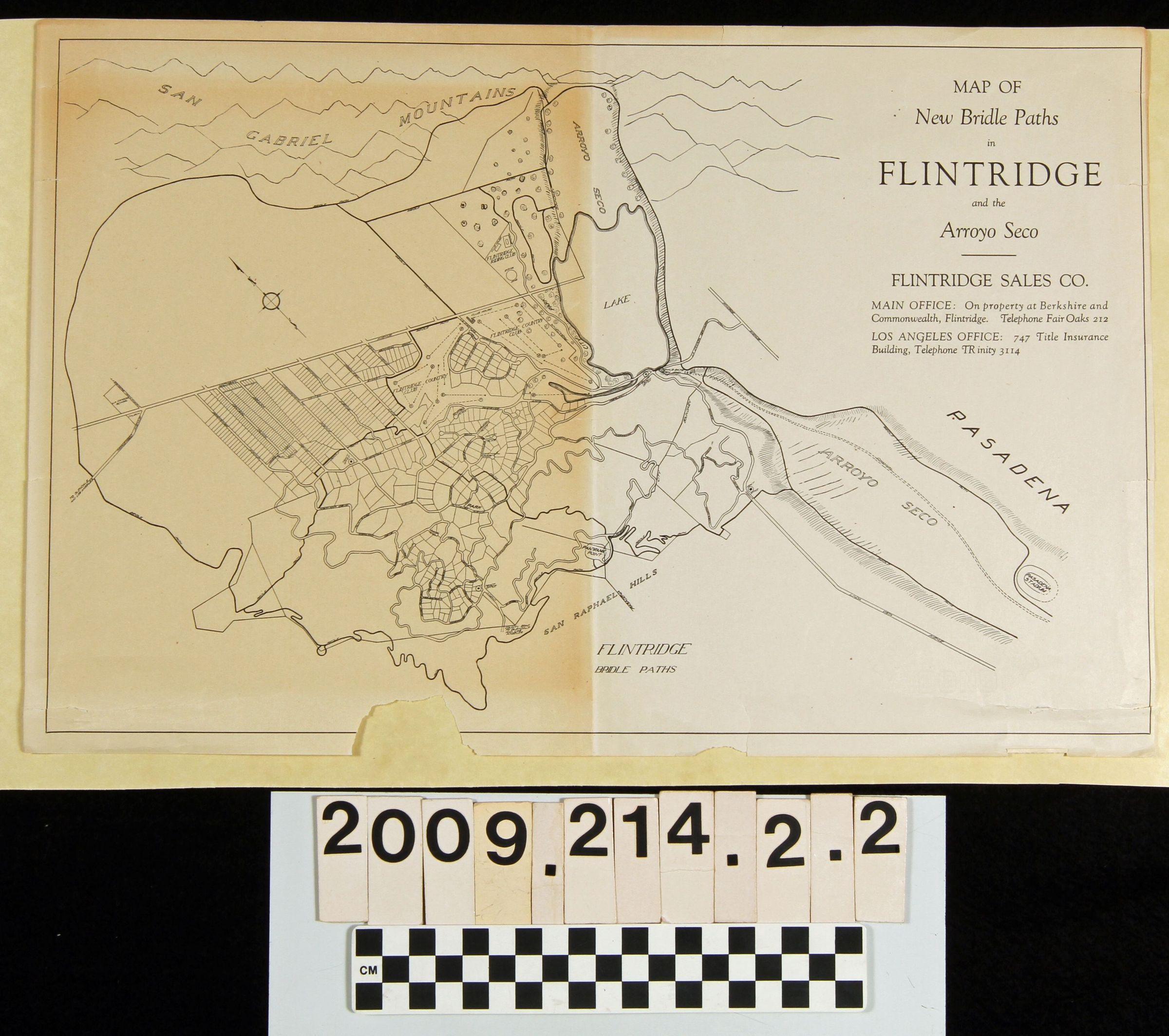
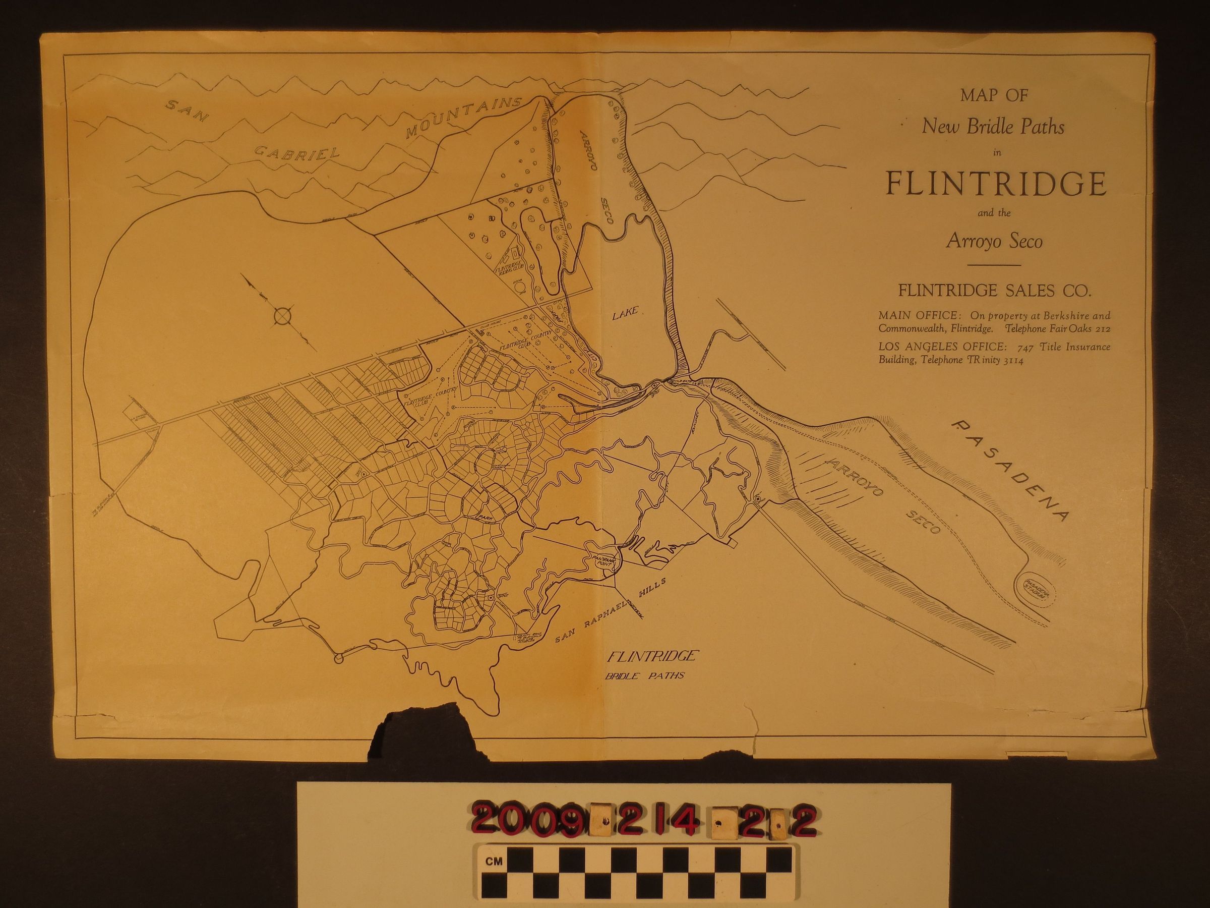
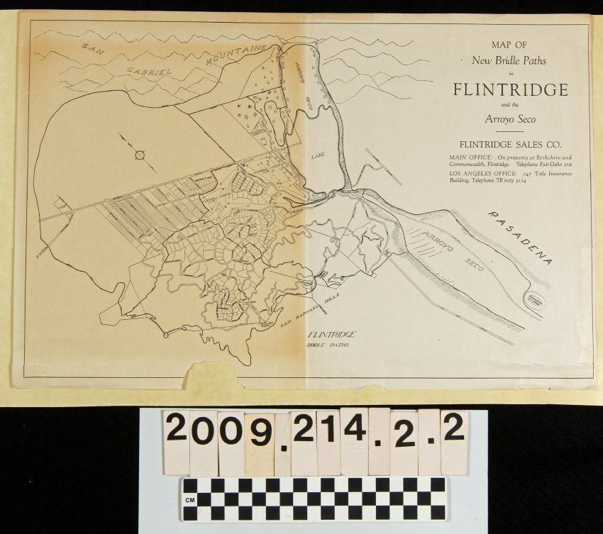
"Map of New Bridle Paths in Flintriedge and the Arroyo Seco"
Entry/Object ID
2009.214.2.2
Description
"Map of New Bridle Paths in Flintridge and the Arroyo Seco," Flintridge Sales Company, 1920s. The map shows the area from the San Gabriel Mountains to the north to the Rose Bowl to the south and centers on the area north of San Rafael Hills, west of the Arroyo Seco, and south of Michigan Avenue (now Foothill Boulevard) where company lots are shown. Bridle paths are marked out in bold black lines throughout the map. At the upper right is the title, company name and office locations on property and in Los Angele. With tears, creases, browning and a missing portion at the bottom from shipment when the map adhered to tape in the package, the condition is fair.
Lexicon
Search Terms
California. Department of Public Health. Bureau of Child Hygiene, United States. Department of Labor. Children's Bureau.