Name/Title
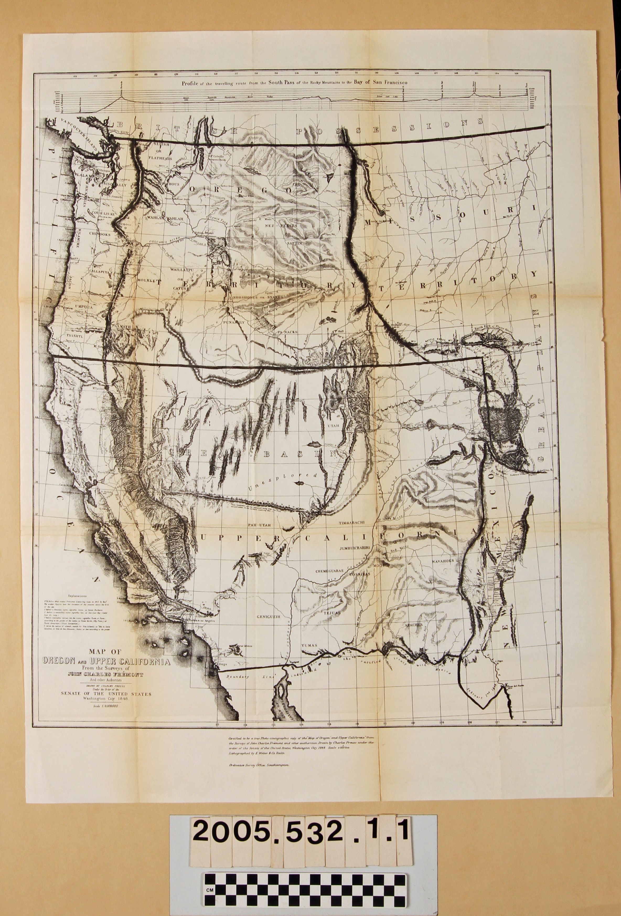
"MAP OF OREGON AND UPPER CALIFORNIA"Entry/Object ID
2005.532.1.1Description
MAPS, "MAP OF OREGON AND UPPER CALIFORNIA," from the surveys of John Charles Fremont, drawn by Charles Preuss, 1872 reprint of the 1848 original. The area covered includes modern Washington, Oregon, California, Nevada, Arizona, Utah, Idaho, Montana, Wyoming, and Colorado. At the top is a profile from the South Pass of the Rocky Mountains to San Francisco Vay, while "Explanations" and the title and scale are at the bottom. A certification as to the copying of the map is at the bottom along with the name of the lithographer. Aside from original folds, there is some discoloration on folds, a three inch tear along a fold at the bottom and tears at folds at the upper right of center, and some fold areas backed with tape; otherwise, the condition is good.Lexicon
Search Terms
Discoveries in geography--West (U. S.), West (U. S.)--Description and travel