Name/Title
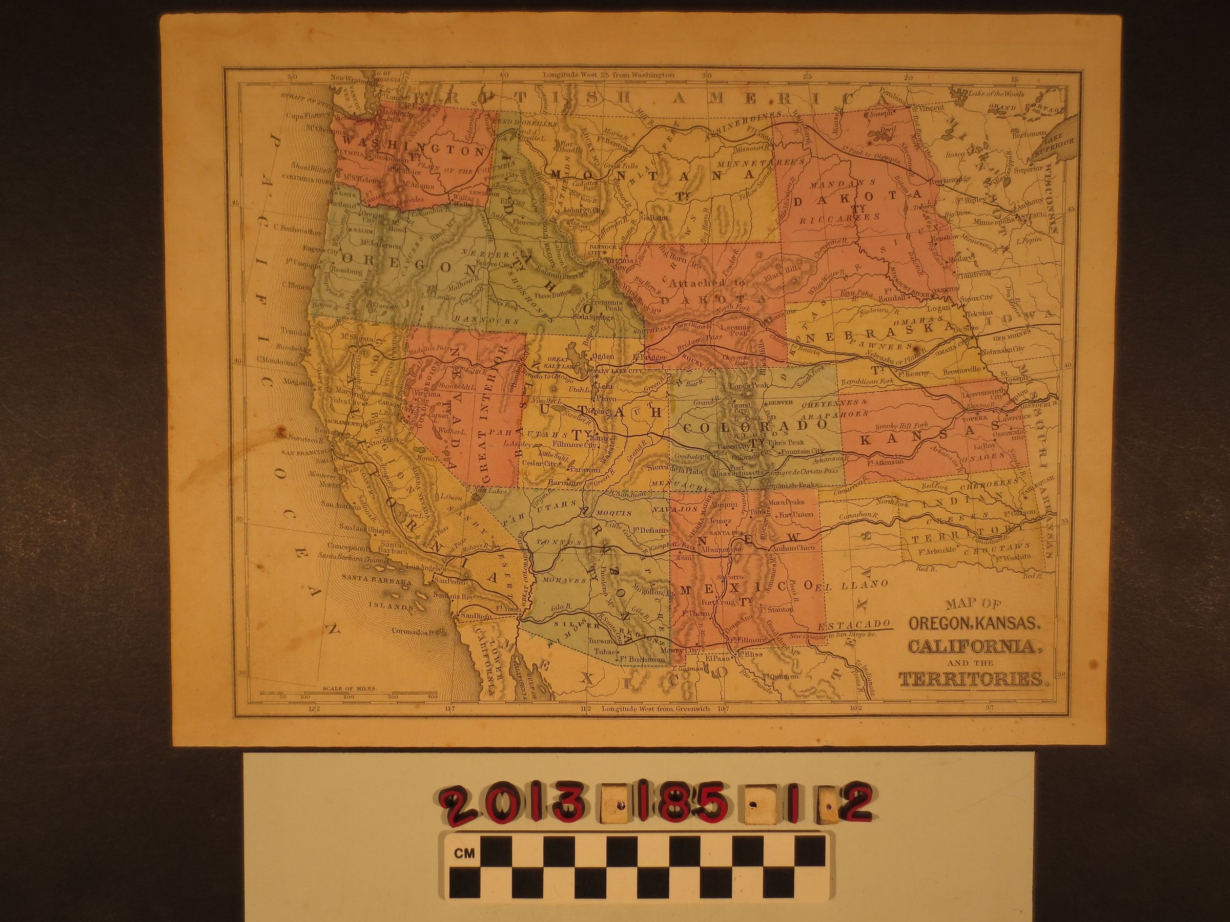
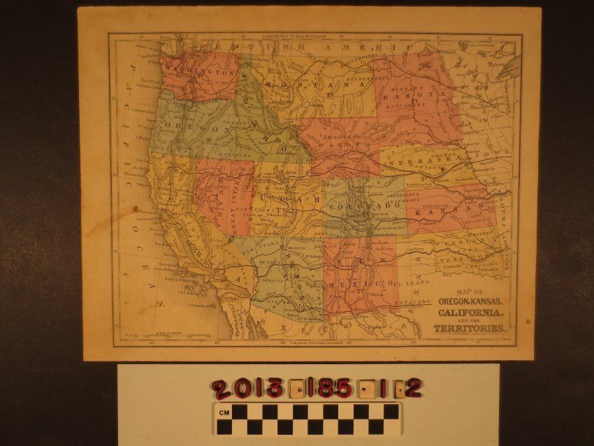
"Map of Oregon, Kansas, California, and the Territories"Entry/Object ID
2013.185.1.2Description
"Map of Oregon, Kansas, California, and the Territories," Samuel Augustus Mitchell, 1864. Published for his Mitchell's New Intermediate Geography Atlas, the map shows the area from the Dakotas to Indian Territory (Oklahoma) westward to the Pacific Coast. Much of the current boundaries and sizes of western states are in place except for the Dakotas, Wyoming, then part of the Dakotas, and southern Nevada, which was part of the Arizona Territory. Major trail and routes are demarcated, along with cities and towns, mountain ranges, rivers and lakes, and others. With flxing, stains, soiling and rubbing, the general condition is good.Lexicon
Search Terms
Cattle--Marking--Los Angeles County (Calif.), Cattle brands--Los Angeles County (Calif.)