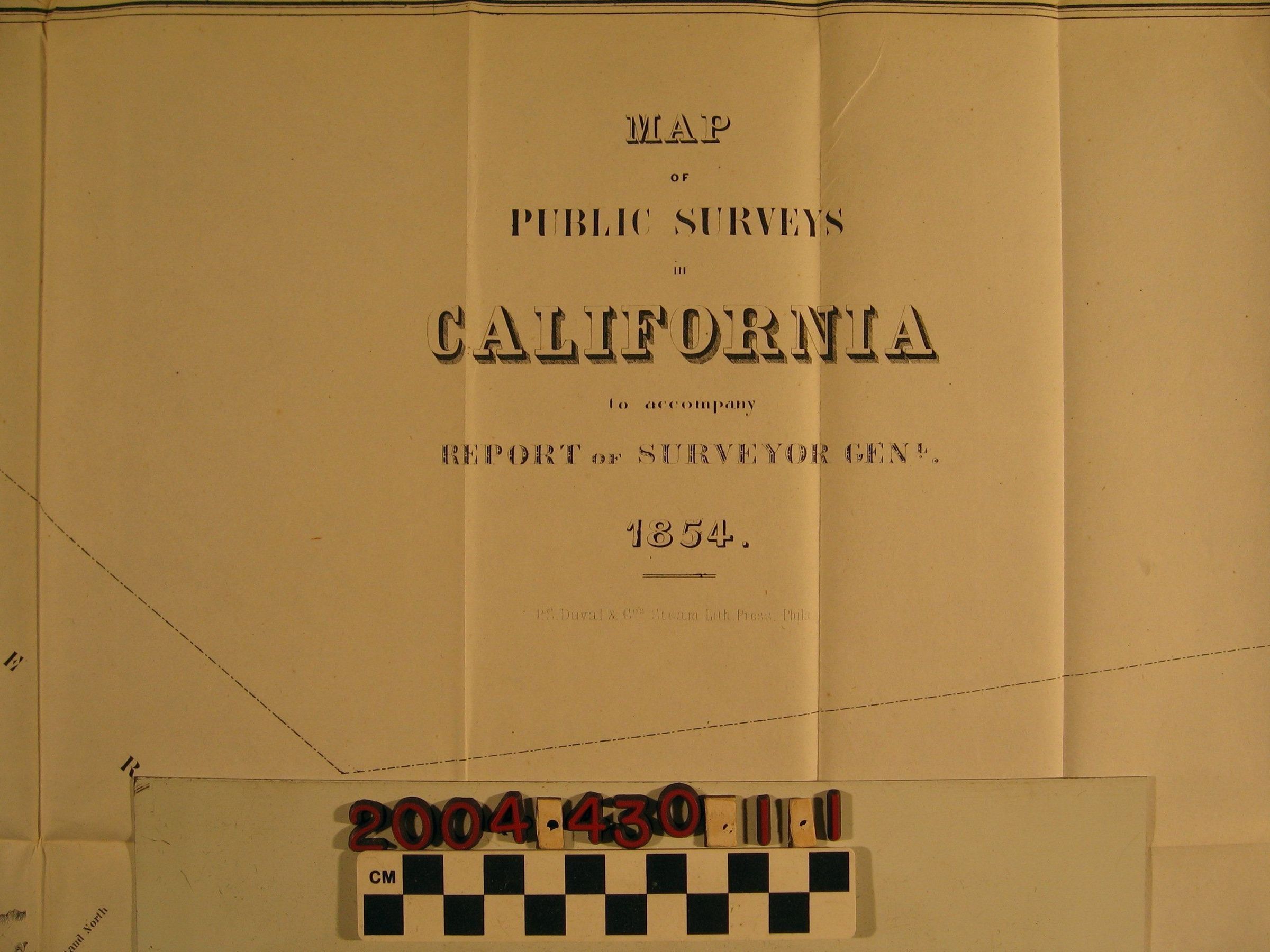
"MAP OF PUBLIC SURVEYS IN CALIFORNIA," 1854.
Color: White; Black
The map details portions of California land that was proposed for survey work to be completed within the year as well as surveyed land. Included were the subdivided townships distinguished by the darkened black border lines. A map key is located on the bottom left corner. On the bottom right corner is the Surveyor General's office location with a date and approval signature that belonged to John C. Hays. The made was printed by P.S. Duval & Co., Steam Lith., Press., Philadelphia. The map is in good condition with only minor discoloration, folds, losses, and tears.
Lexicon
Search Terms
Ranches--California, Surveying--California, Land titles--California