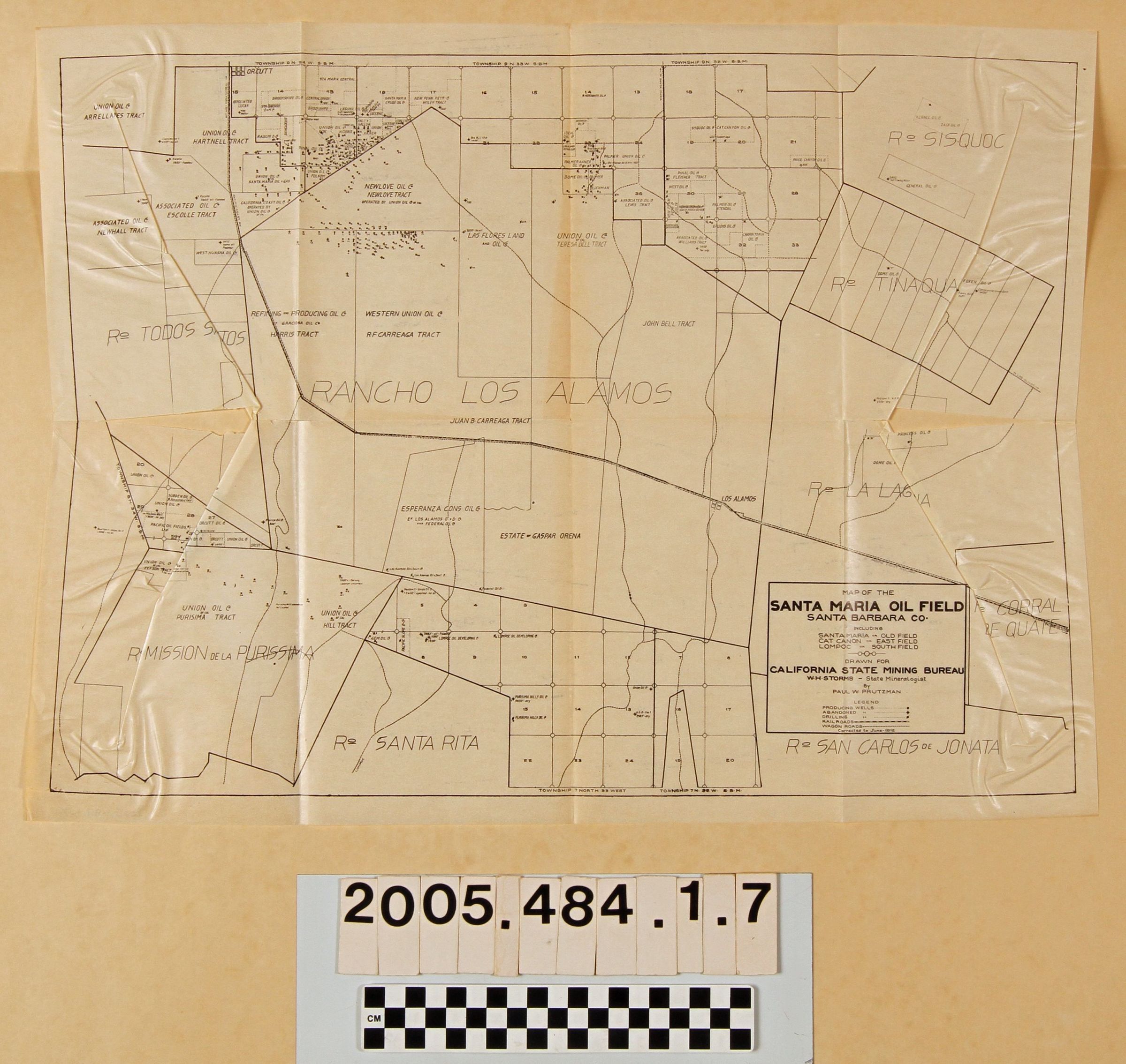
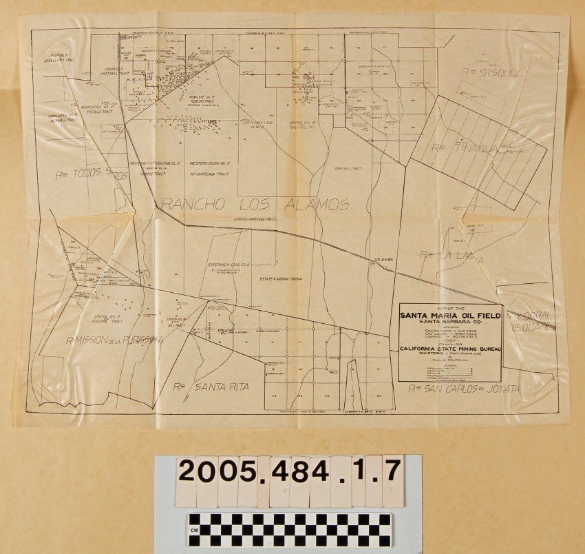
MAPS, "MAP OF SANTA MARIA OIL FIELD," from the book, "Petroleum in Southern California, issued by the California State Mining Bureau, 1913. The item shows fields in the Santa Maria area from Orcutt and Santa Maria on the north to La Purisima on the south. Township and section markings, rancho boundaries, major roads and railroads, and other features are noted along with oil company holdings and well sites. There is significant creasing and some large tears, so that the condition is fair.
Lexicon
Search Terms
California State Mining Bureau, Petroleum industry and trade--California, Southern, Petroleum--Prospecting--California, Southern