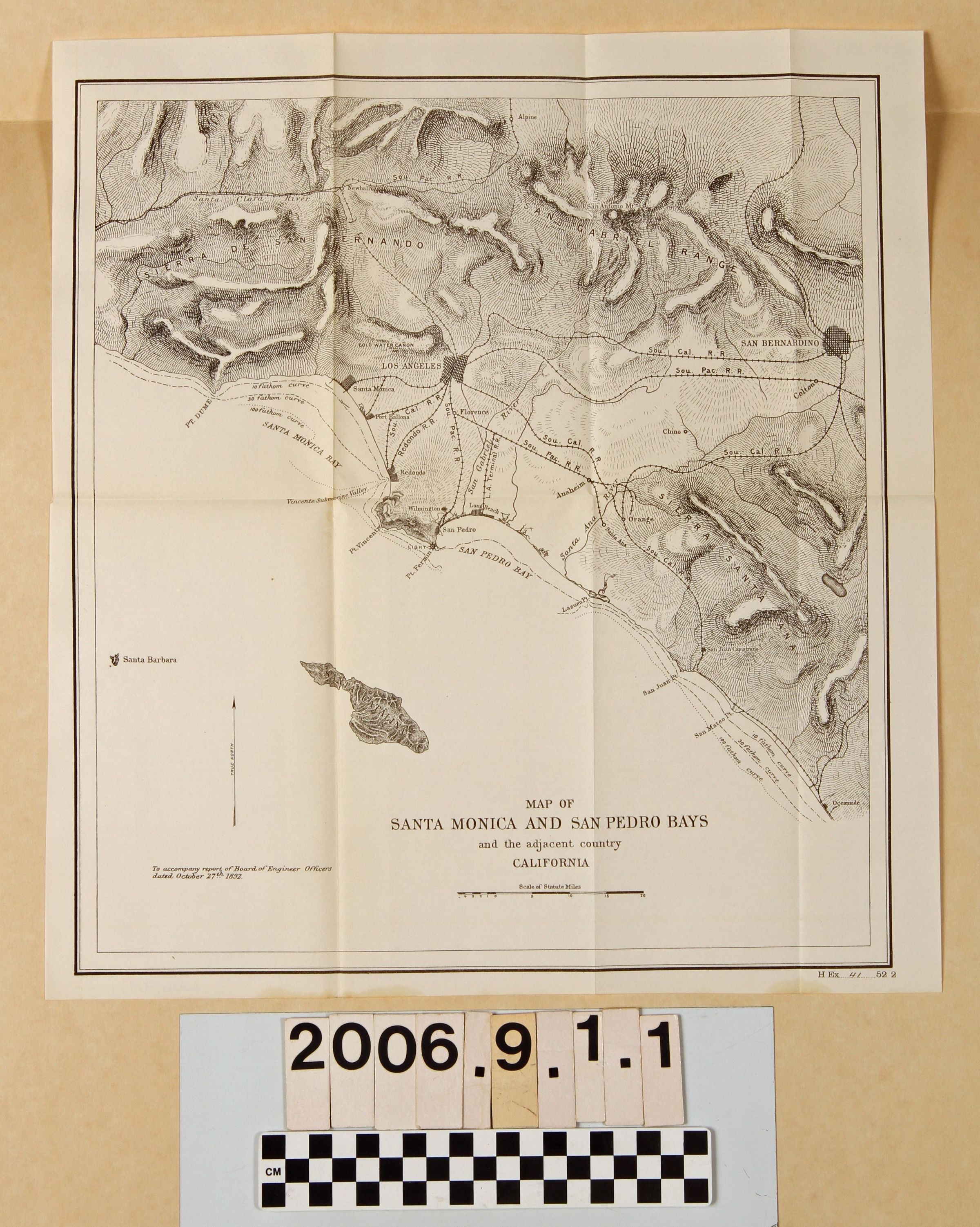
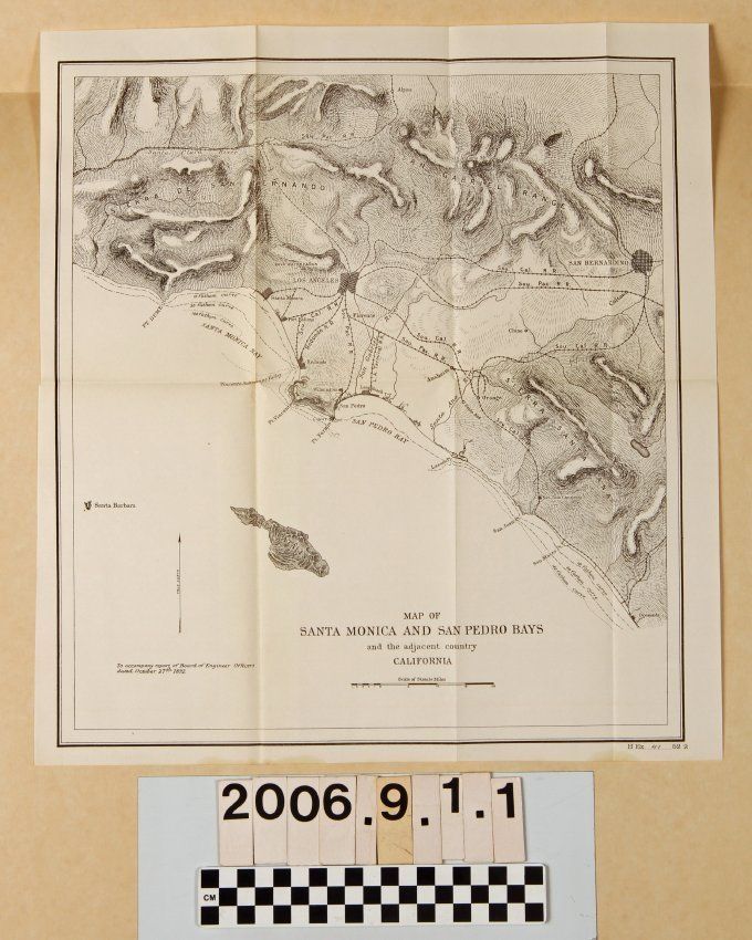
"MAP OF SANTA MONICA AND SAN PEDRO BAYS AND THE ADJACENT COUNTRY, CALIFORNIA,"
Entry/Object ID
2006.9.1.1
Description
"MAP OF SANTA MONICA AND SAN PEDRO BAYS AND THE ADJACENT COUNTRY, CALIFORNIA," from a report of the Board of Engineer Officers, House of Representatives Ex. Doc. 41, 52nd Congress, Session 2. The map provides fathom curves for the region around the two bays, but also as far south as Oceanside, as well as shows railroad lines in the region. The map was part of the decision-making process of the federal government as to whether to locate the regional port at San Pedro or Santa Monica. With little damage, other than yellowing, the condition is good.
Lexicon
Search Terms
California, Southern--Description and travel, Harbors--Los Angeles County (Calif.), Railroads--California, Southern