Name/Title
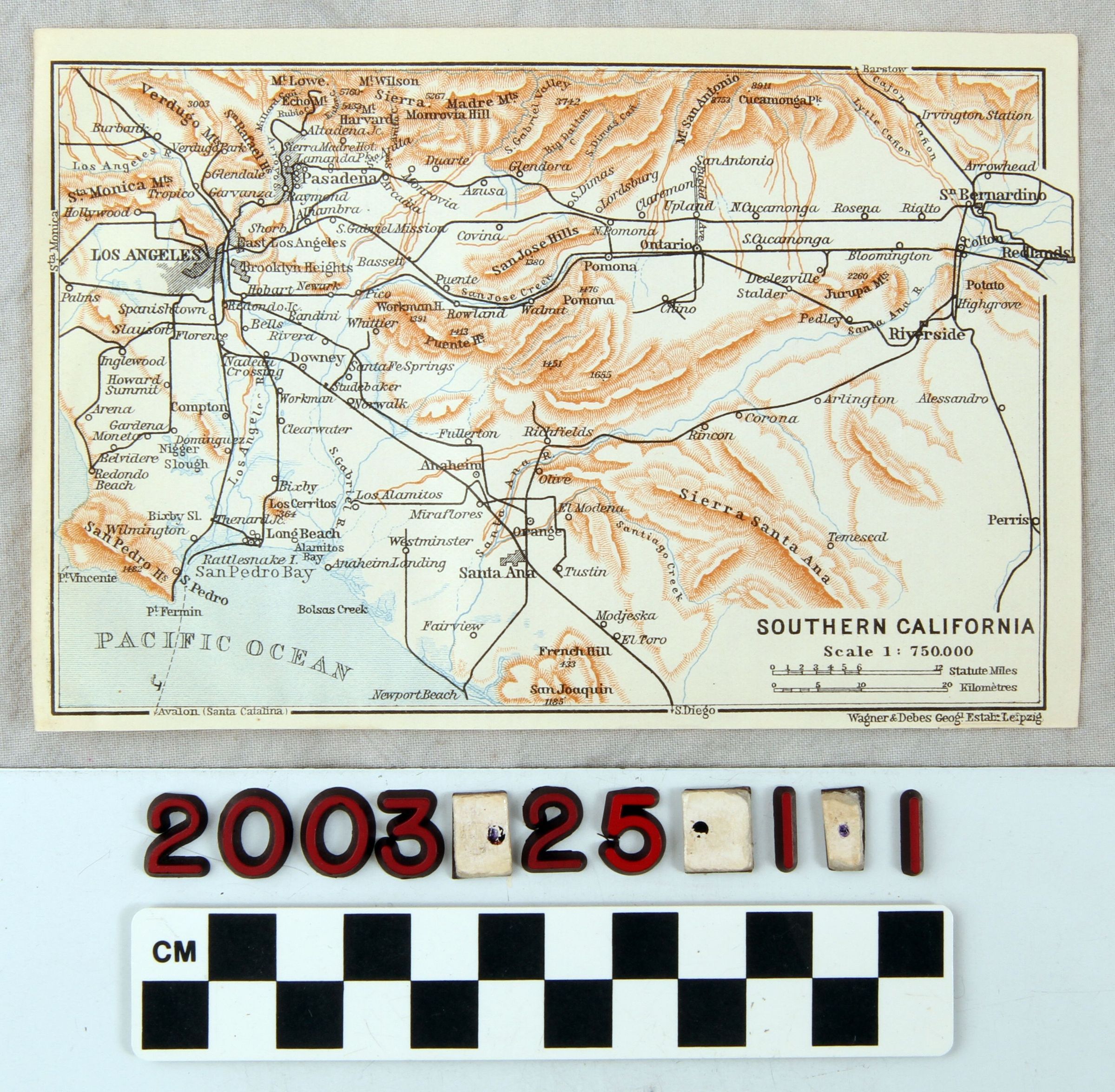
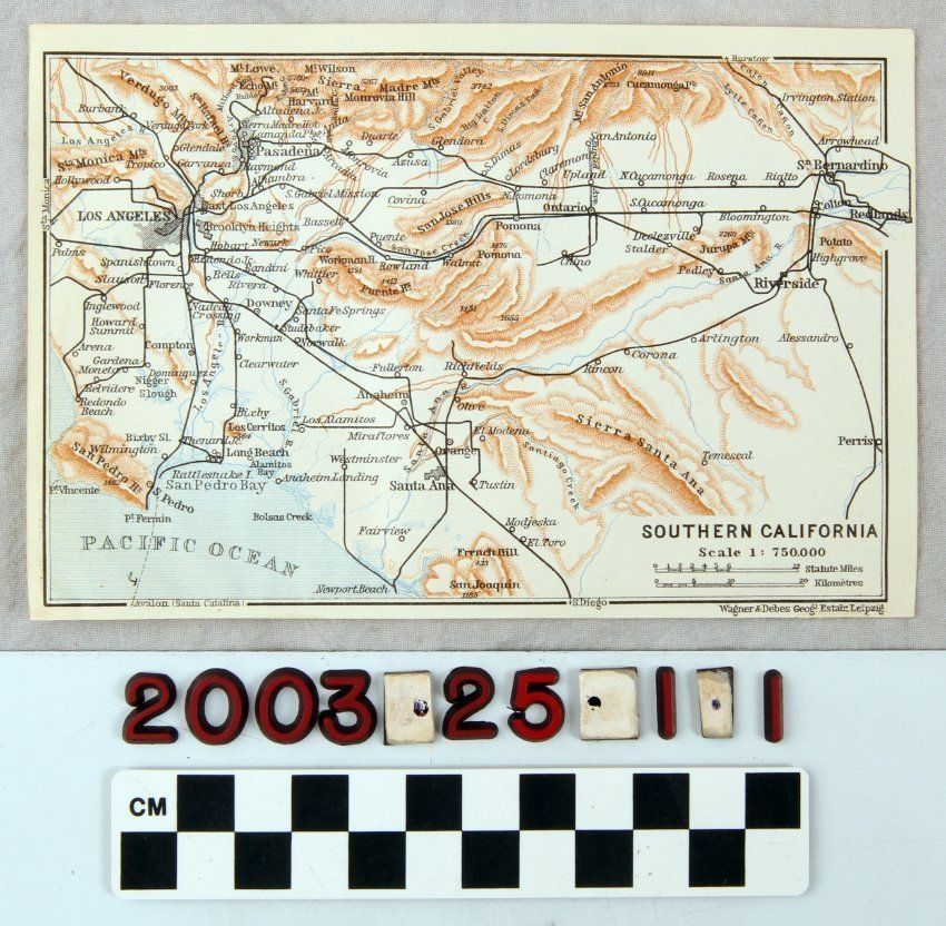
MAP OF SOUTHERN CALIFORNIAEntry/Object ID
2003.25.1.1Description
Color: Black; Brown; Blue; White
A map, "Southern California." published by Wagnes and Debes, Leipzig, Germany, 1904. The item shows an area ranging from the San Gabriel (called the Sierra Madre) Mountains on the north to southern Orange County on the south and from the area west of Los Angeles on the west to Redlands on the east. Brown areas represent mountain and hill ranges and blue denotes rivers, creeks, and, at the bottom left, the Pacific Ocean. Black lines are for railroad lines and spur tracks. Place locations, including cities, towns, and railroad station stops are along these lines. At the bottom right is the title, indication of scale, scales in statute miles and kilometers and the publisher's name and location. Aside from light discoloration and minor creasing, the artifact is in good condition.Lexicon
Search Terms
Two-dimensional, Maps, Wagner and Debes [firm], California, Southern