Name/Title
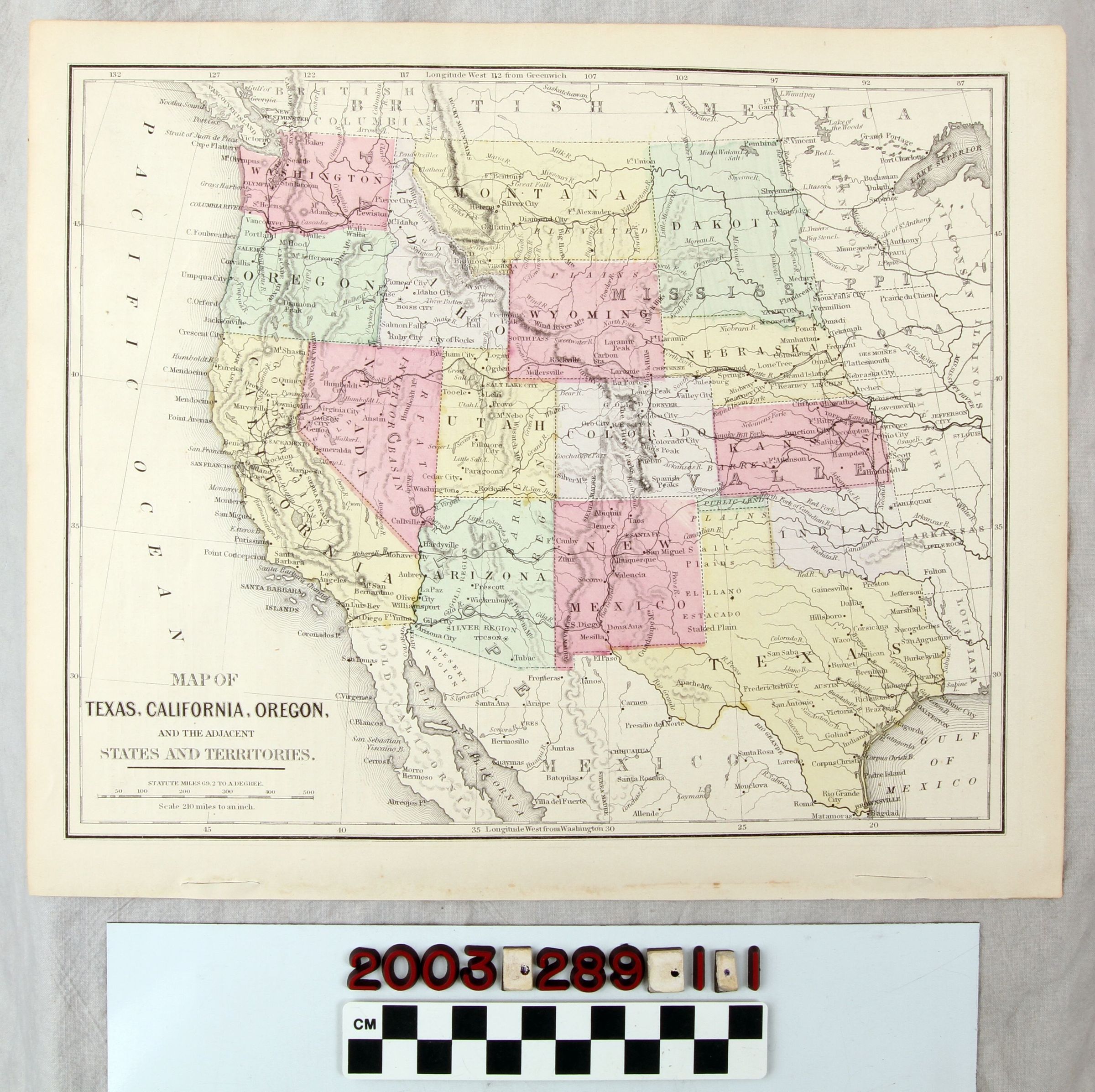
"MAP OF TEXAS, CALIFORNIA, OREGON, AND THE ADJACENT STATES AND TERRITORIES"Entry/Object ID
2003.289.1.1Description
"MAP OF TEXAS, CALIFORNIA, OREGON, AND THE ADJACENT STATES AND TERRITORIES"
Color: Black; Gray; Green; Red; Yellow; White
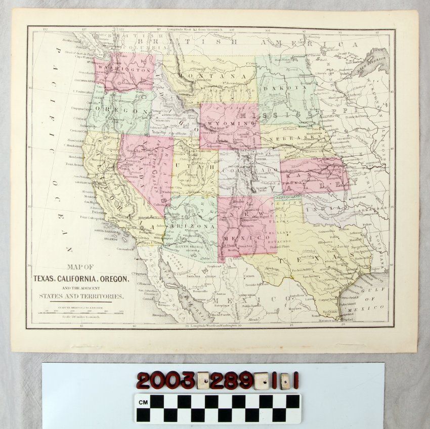
A map titled "Map of Texas, California, Oregon, and the Adjacent States and Territories," 1872. The atlas map has the sixteen states and territories from the Dakotas, Nebraska, Kansas, Texas, and what is now Oklahoma, but then identified as "Indian" territory westward, with each a color of green, gray, red, or yellow. Portions of states to the east, as well as small sections of Mexico and "British America" or Canada are also in view. Common features, such as cities and towns, rivers, mountain ranges, large lakes, and other aspects are noted, but there are also regions described as "gold region"; "silver region"; "interior basin"; "barren region"; "elevated plains"; and others. The transcontinental railroad line, completed three years previously, is also of interest. Except for the combined "Dakota" territory, the panhandle portion of modern Oklahoma designated as "Public Land" and the rest as "Indian" the modern contours of the western part of the United States was established. At the bottom left is the title, a note that statute miles were 2 to a degree, and a scale of 210 miles to the inch. On the margins are points of latitude and longitude. The reverse has information on much of the western states and territories. With tape on the reverse; light creases; dents or impressions at the front bottom; paper browning; light small stains; and two tears on the bottom, the condition is generally good.Lexicon
Search Terms
Two-dimensional, Maps, West (U. S.)