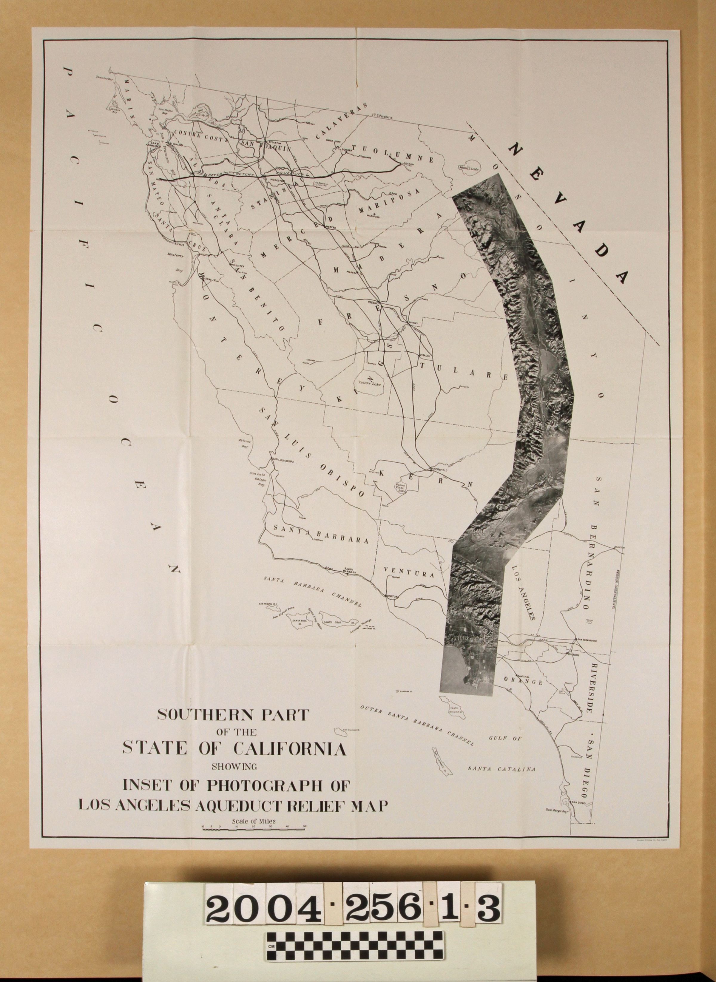
MAP OF THE AQUEDUCT FROM "COMPLETE REPORT ON CONSTRUCTION OF THE LOS ANGELES AQUEDUCT"
Entry/Object ID
2004.256.1.3
Description
MAP OF THE AQUEDUCT FROM "COMPLETE REPORT ON CONSTRUCTION OF THE LOS ANGELES AQUEDUCT"
Color: Black; White
A map of the Los Angeles Aqueduct accompanying the "Complete Report on Construction of the Los Angeles Aqueduct," published by the Department of Public Service, City of Los Angeles, 1916. The map shows the region of the state from San Francisco across to the Nevada border down to the Los Angeles region and includes an overlay photograph of the route of the aqueduct taken from an aerial perspective. There are general map features like towns and cities, bodies of water, railroad lines, and so forth. At the right is the photo overlay with some insertion of references to show the aqueduct. Also in the accession and separate from the book were 23 plates from the back pocket. The condition is good in general, with the original folds, edge creases, light yellowing, and some small tears mainly along folds.
Lexicon
Search Terms
Two-dimensional, Maps, Los Angeles. Board of Public Service Commissioners, Aqueducts--California, Water--Distribution--California, Water-suuply engineering--California