Name/Title
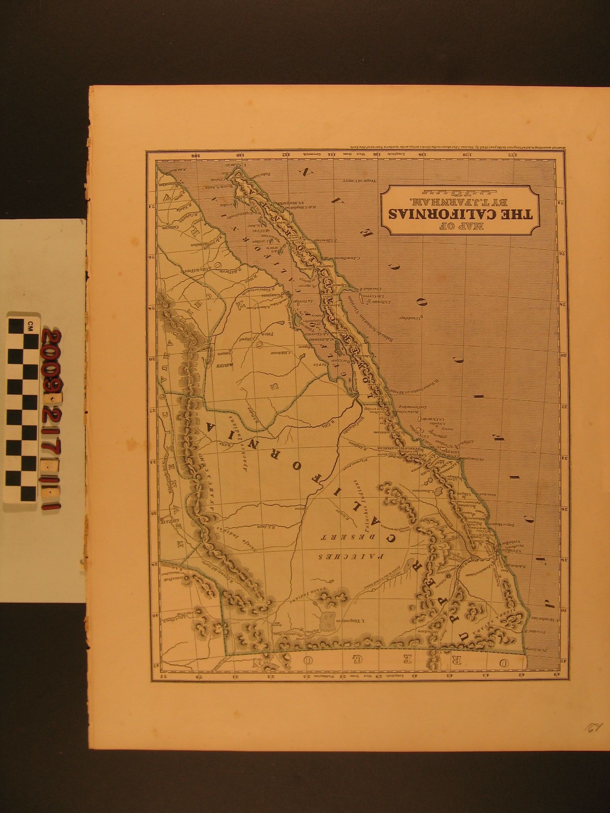
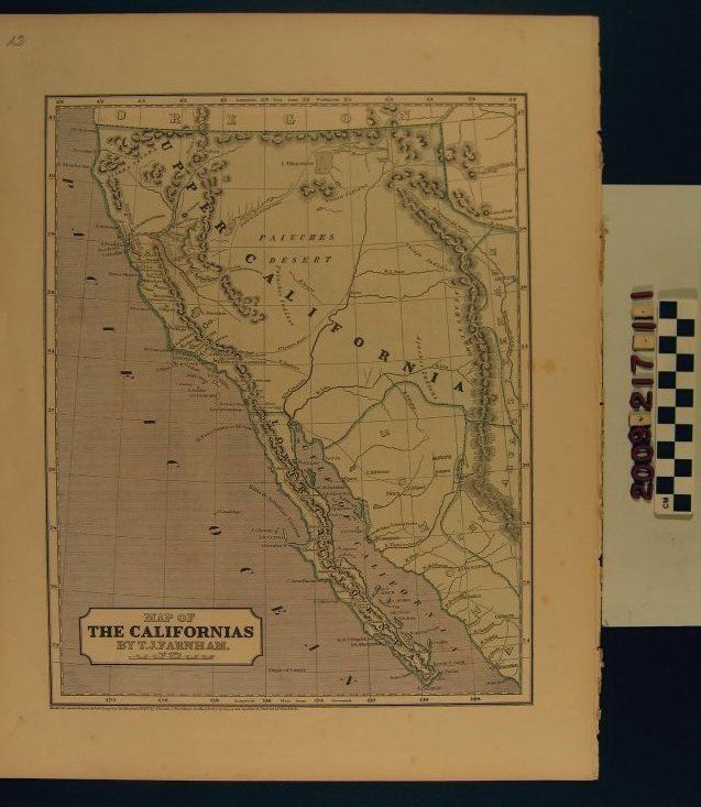
"Map of the Californias"Entry/Object ID
2009.217.1.1Description
"Map of the Californias," by Thomas Jefferson Farnham, 1844. The map shows the region from the Oregon border on the north to Santa Fe, New Mexico on the east, to Mazatlan, Mexico on the south, and the Pacific Ocean on the east. Major settlements, towns and cities; mountain ranges; lakes and rivers; and routes, including Farnham's route to California and "Dr Lyman's Route," which is the Old Spanish Trail and refers to Lyman's role in the Rowland and Workman Expedition of 1841 (Lyman's account was published in Farnham's history of California, which this map accompanied.) The title, scale, and date of entry to the New York Southern District Clerk's Office (as precursor to copyright) are at the bottom left. With some foxing, small stains, a ragged edge from removal at the right, and some creases, the overall condition is good.Lexicon
Search Terms
California. Department of Public Health. Bureau of Child Hygiene, United States. Department of Labor. Children's Bureau.