Name/Title
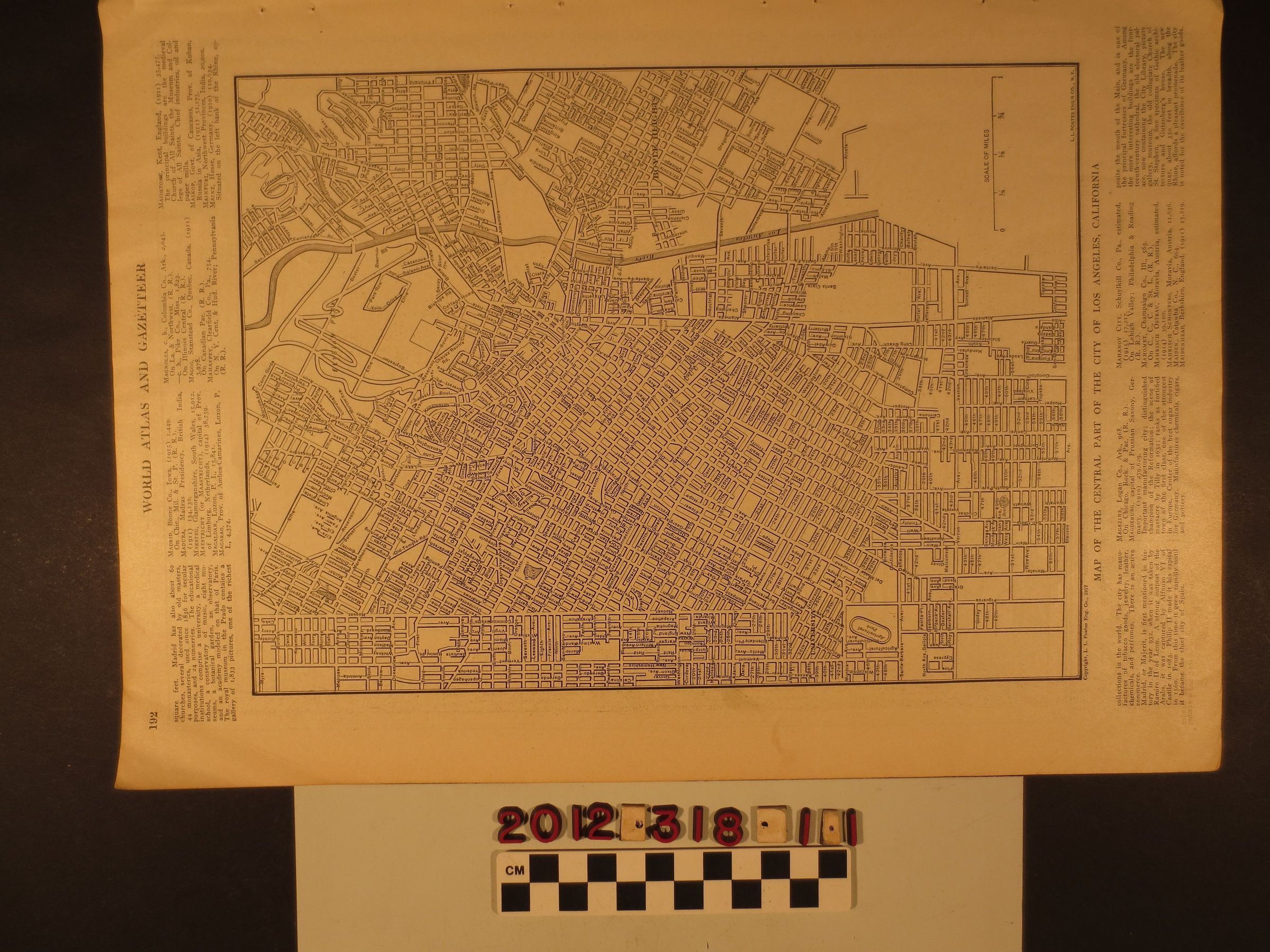
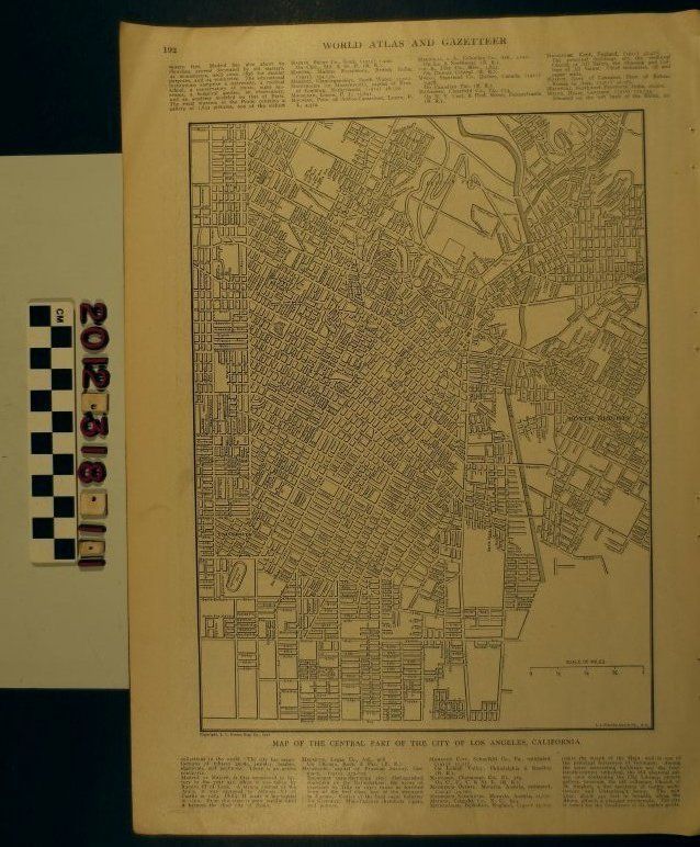
"Map of the Central Part of the City of Los Angeles, California"Entry/Object ID
2012.318.1.1Description
"Map of the Central Part of the City of Los Angeles, California," from the "World Atlas and Gazetteer," 1917. The map covers the area from Vermont Avenue on the west to city limits at Boyle Heights on the east and from Elysian Park and Sycamore Park to the north to Slauson Avenue to the south. Streets, the Los Angeles River, Elysian Park, Agricultural Park (now Exposition Park), U.S.C., and other landkarks are of note. Three other pages are attached with maps of a part of London, Jamaica, and Killarney, Ireland. With holes from disbinding, some soiling, creases and edge browning, the condition is overall good.