Name/Title
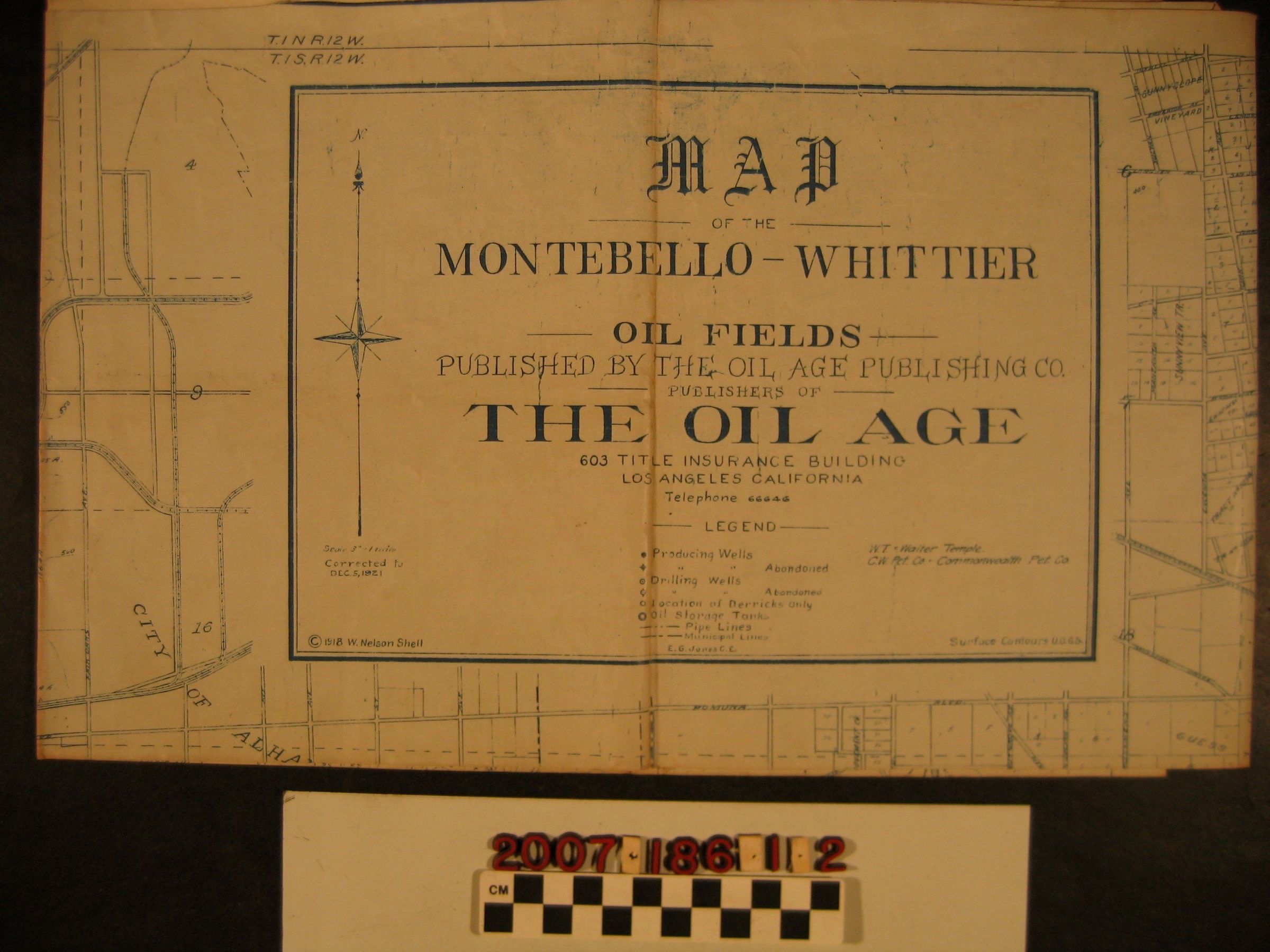
"Map of the Montebello-Whittier Oil Fields"Entry/Object ID
2007.186.1.2Description
"Map of the Montebello-Whittier Oil Fields," The Oil Age Publishing Company, Los Angeles, corrected to 5 December 1921 from an 1918 copyright. The entire area of the map is from the Los Angeles River on the west to the La Puente area on the east and from Arcadia on the north to Montebello on the south. The focus, in terms of property owners, oil leases, and the like, is northwest Whittier and the Montebello Hills. There are, however, considerable property ownership listings for areas around El Monte, Bassett, and Monterey Park, as well. Of note at Montebello is the Walter P. Temple oil lease. With many creases, browning mainly along folds, edge tears and wear, and some soiling and stains, the condition overall is fair.Lexicon
Search Terms
Oil Age Publishing Company, The, Oil wells--California--San Gabriel River Valley, Petroleum prospecting--California--San Gabriel River Valley