Name/Title
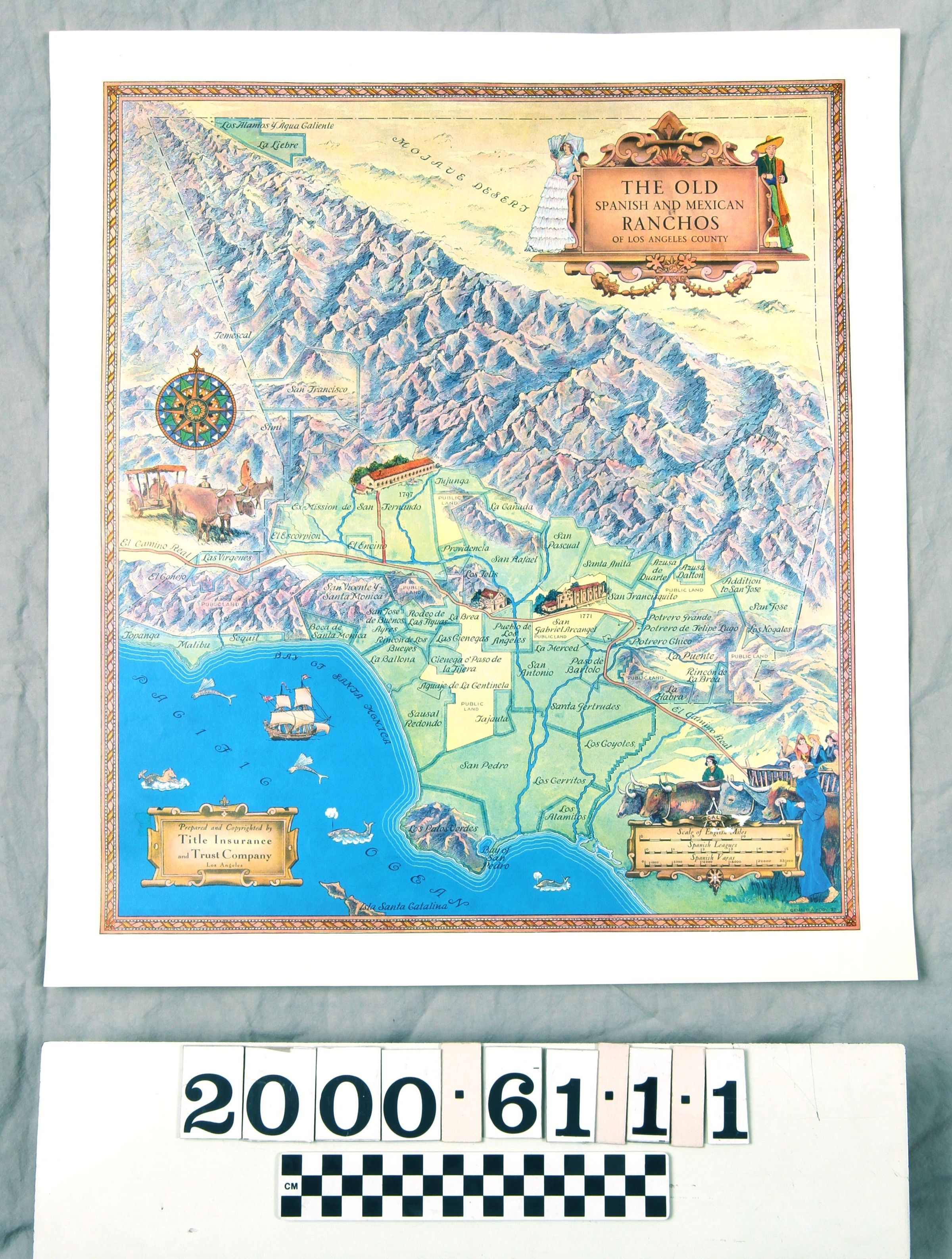
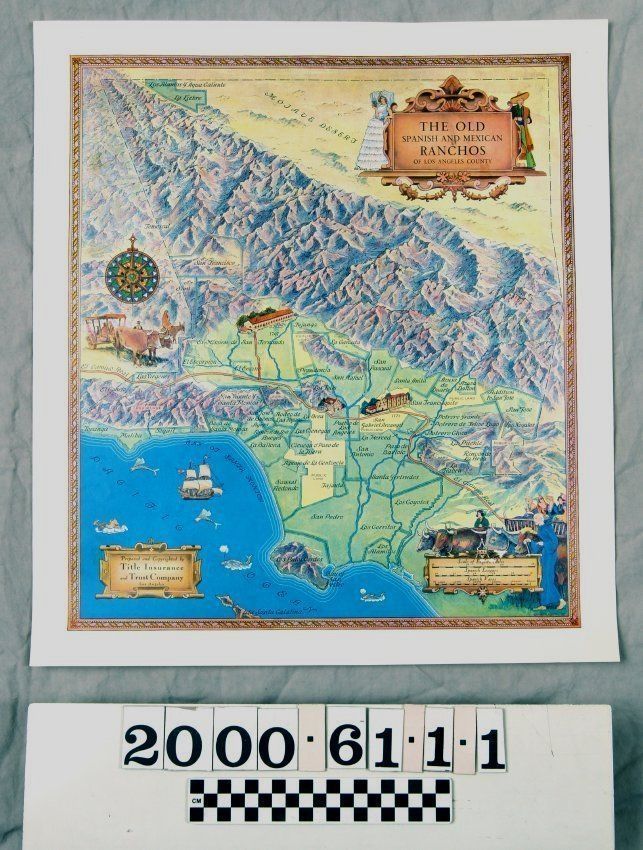
MAP OF THE OLD SPANISH AND MEXICAN RANCHOS OF LOS ANGELES COUNTYEntry/Object ID
2000.61.1.1Description
MAP OF THE OLD SPANISH AND MEXICAN RANCHOS OF LOS ANGELES COUNTY
Color: Blue; Brown; Green; Yellow
"The Old Spanish and Mexican Ranchos of Los Angeles County," a color map drawn by Gerald A. Eddy and issued by the Title Insurance and Trust Company, 1937, and probably a later reproduction. The artifact has a gold and white chain-like border. At the top right is a panel with scroll accents, within which is the title of the document. A woman and man wearing Mexican or Spanish costume adorns the design, as well. At the lower left corner is a smaller panel with the name of the publisher, while at the lower right is another panel with scale given in English miles, Spanish leagues, and Spanish varas. Above this last is an image of a blue-robed priest and Indian herder leading oxen, which pull a cart with four women in it. Near the center of the left is a compass, under which is an image of a covered cart drawin by oxen and a woman riding a mule. At the lower left, where the ocean is designated are images of ships and sea animals, some mythical. The Plaza church and the missions at San Gabriel and San Fernando are depicted out of scale to other elements of the map. A dotted black line marks the county boundaries and the boundaries of the fifty ranchos and the pueblo lands of Los Angeles, which are in a green background, are marked by thick blue lines. Areas with yellow backgrounds are marked as public lands. El Camino Real, or the King's Road, is a brown line snaking through the county, with an extension leading to Mission San Fernando. Rivers and major creeks and washes are blue lines with the local moutains and the Mojave Desert other major landmarks. Except for small abrasions at the scale panel, the document has a few creases, mainly at the edges, but is in good condition.Lexicon
Search Terms
Two-dimensional, Maps, Title Insurance and Trust Company, Ranches--Los Angeles County (Calif.)