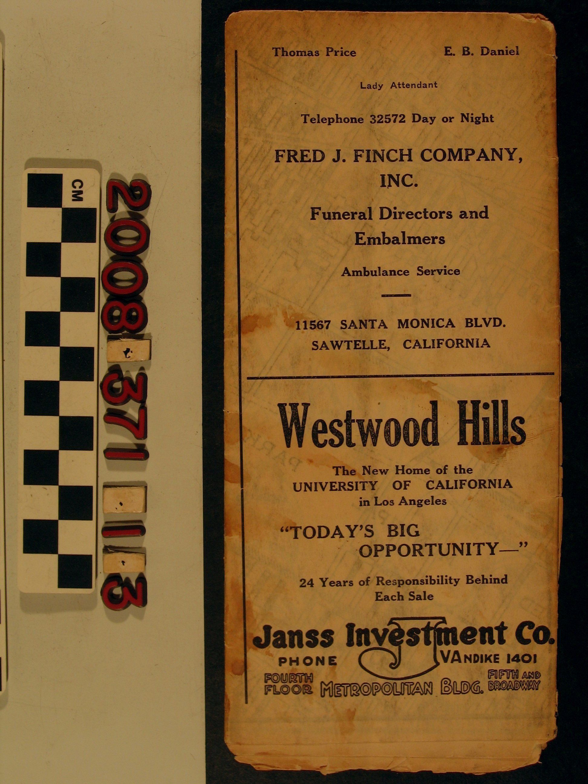
Map of the Sawtelle District and surrounding areas of Los Angeles
Entry/Object ID
2008.371.1.3
Description
A map of the Sawtelle District and surrounding areas of Los Angeles, issued by Sawtelle Chamber of Commerce , 1927. When fully opened, the map covers from Santa Monica on the west to Beverly Hills on the east and also includes Brentwood, Pacific Palisades, and Westwood. There are three panels promoting the "Sawtelle District" with information on the community. There are also many advertisements for local businesses. With many stains, tears, creases, and soiling, the condition is overall poor.
Lexicon
Search Terms
California. Department of Public Health. Bureau of Child Hygiene, United States. Department of Labor. Children's Bureau.