Name/Title
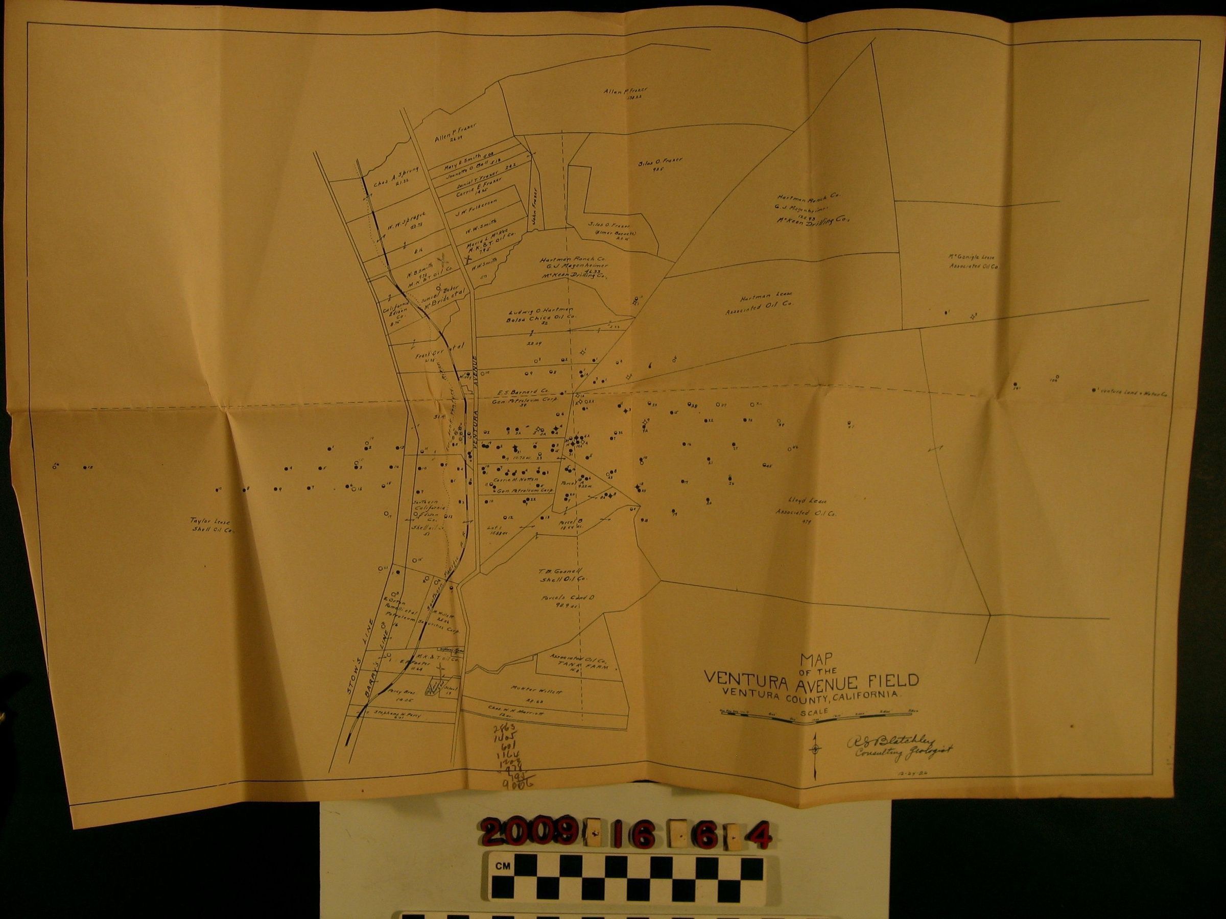
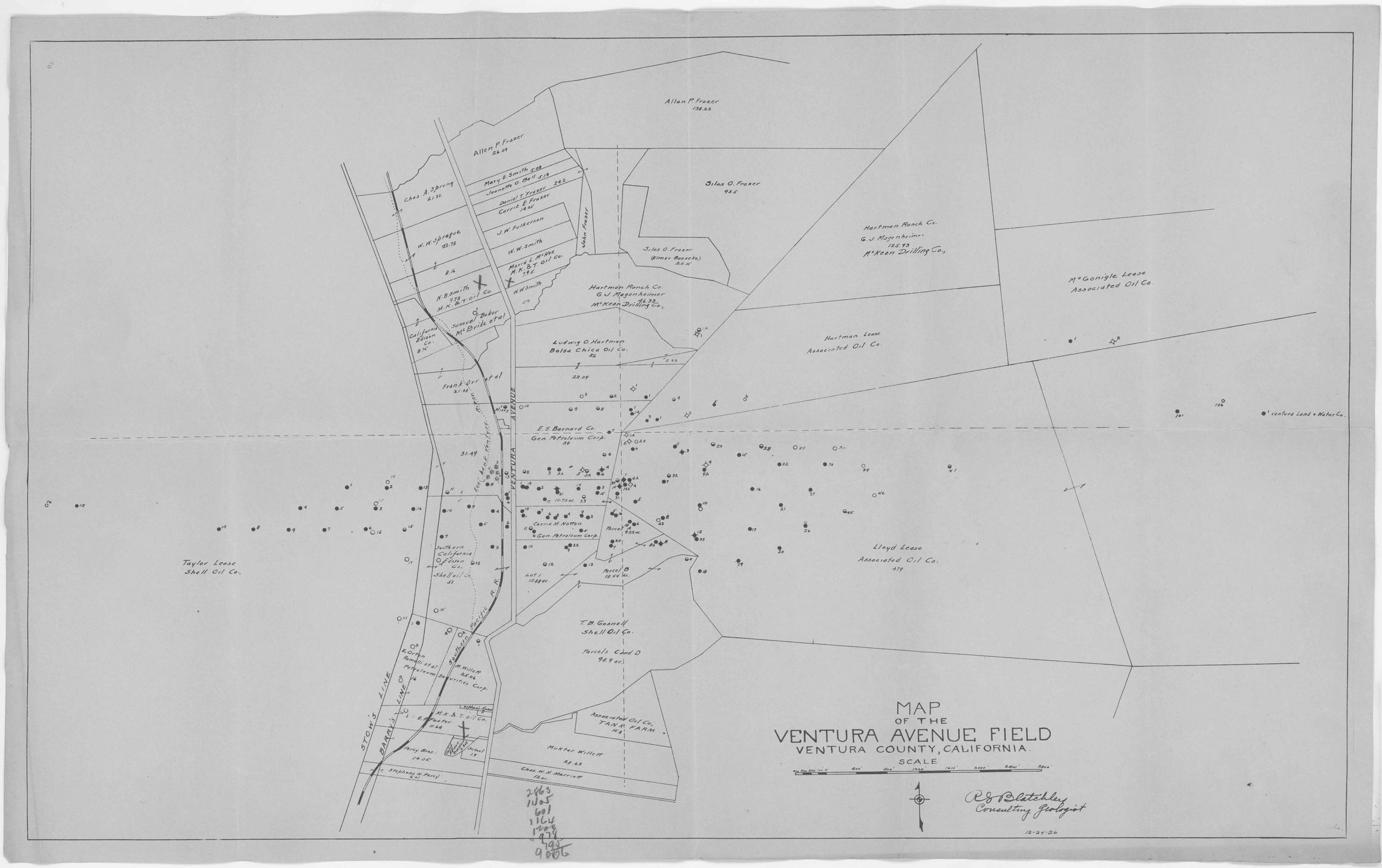
"Map of the Ventura Avenue Field, Ventura County, California"Entry/Object ID
2009.16.6.4Description
"Map of the Ventura Avenue Field, Ventura County, California," 24 December 1926. The item shows parcels, the landowners, lessees, acreage, well sites, streets, railroad lines and other information. Two parcels, the Smith and McKee leases are assigned to the M. K. & T Oil Company, run by Milton Kauffman and Walter P. Temple, but before wells were dug. On the bottom of the front and back are some mathemetical figures. With soiling, creases and edge rubbing, the overall condition is good.Lexicon
Search Terms
California. Department of Public Health. Bureau of Child Hygiene, United States. Department of Labor. Children's Bureau.