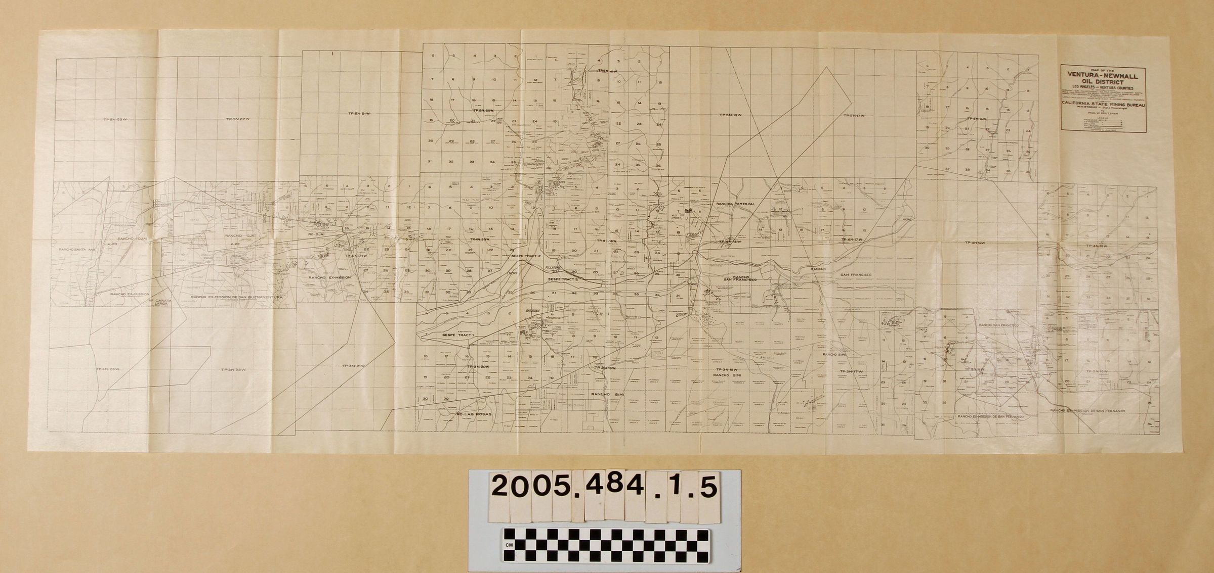
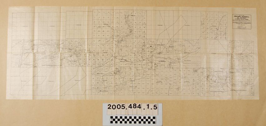
MAPS, "MAP OF THE VENTURA-NEWHALL OIL DISTRICT," from the book, "Petroleum in Southern California, issued by the California State Mining Bureau, 1913. The item shows fields from Ventura and Ojai on the west to the Antelope Valley area on the east and from Sespe and Castaic on the north to San Fernando and Rancho Simi on the south. Township and section markings, rancho boundaries, major roads and railroads, and other features are noted along with oil company holdings and well sites. Other than original folds with some tears on these, a few creases and some yellowing, the item is free from wear and damage and is in fair condition.
Lexicon
Search Terms
California State Mining Bureau, Petroleum industry and trade--California, Southern, Petroleum--Prospecting--California, Southern