Name/Title
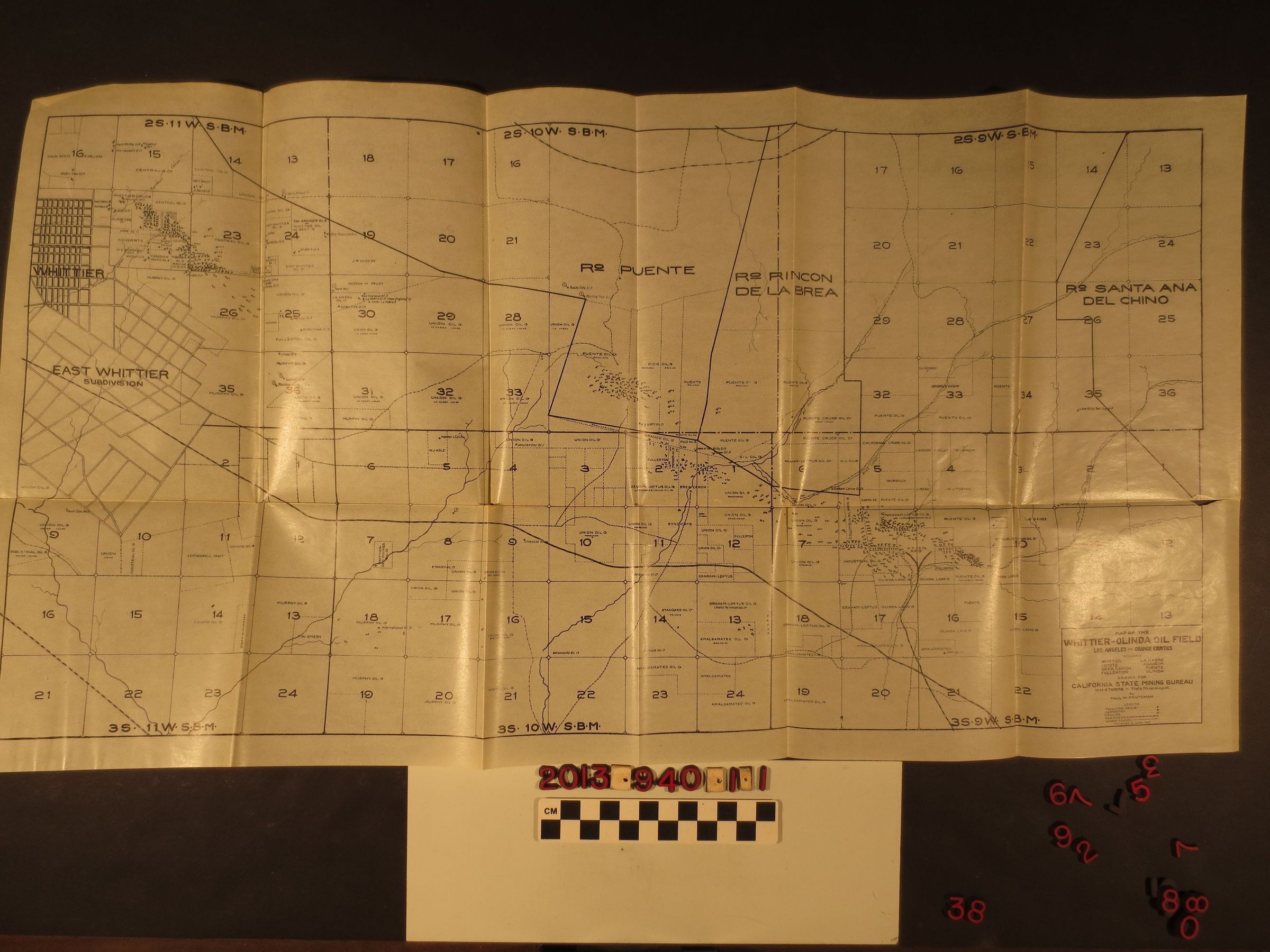
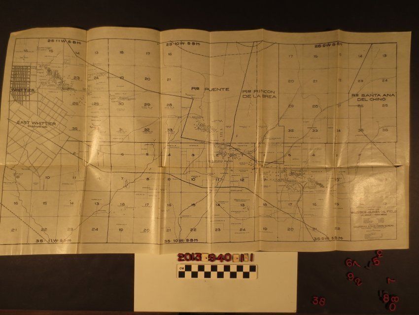
"Map of the Whittier-Olinda Oil Field"Entry/Object ID
2013.940.1.1Description
"Map of the Whittier-Olinda Oil Field," published by the California State Mining Bureau, June 1912. The region showed reaches from Whittier on the west to Rancho Santa Ana del Chino on the east and from Rancho La Puente to the north to the Fullerton, Anaheim, Placential area on the south. Major oil activity is shown in the hills just east of Whittier, in the Puente Hills in present Rowland Heights, in Brea Canyon (Canon del Rodeo), and at Olinda. The names of oil companies owning or leasing land and numbered well sites are also noteworthy. Also included are rail lines, including the Santa Fe spur to Olinda, creeks and roads and other items. With many folds, a couple of tears at these, creases and yellowing, the overall condition is good.Lexicon
Search Terms
Cattle--Marking--Los Angeles County (Calif.), Cattle brands--Los Angeles County (Calif.)