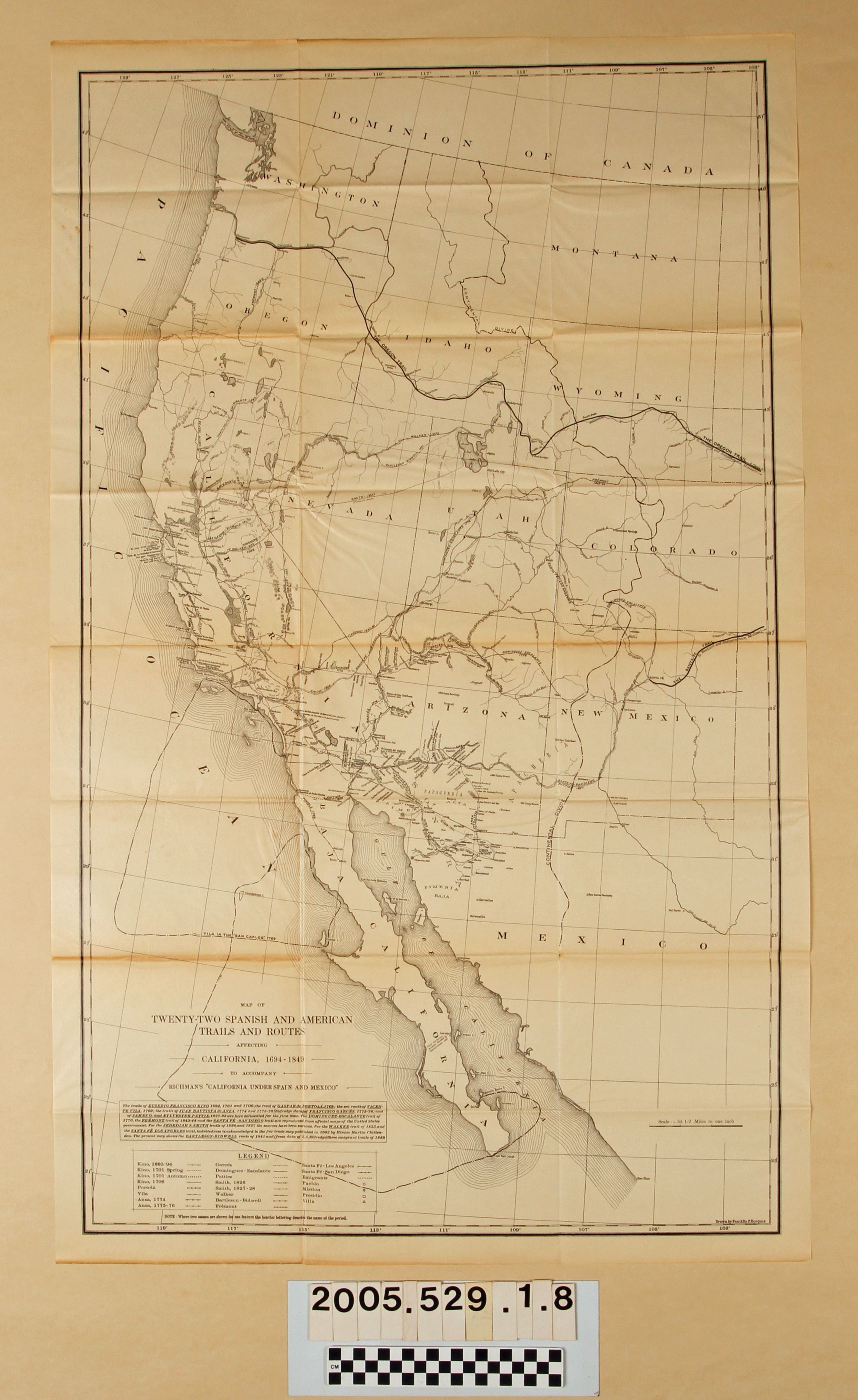
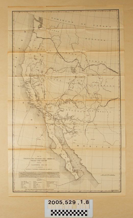
"MAP OF TWENTY-TWO SPANISH AND AMERICAN TRAILS AND ROUTES AFFECTING CALIFORNIA, 1694-1849"
Entry/Object ID
2005.529.1.8
Description
MAPS, "MAP OF TWENTY-TWO SPANISH AND AMERICAN TRAILS AND ROUTES AFFECTING CALIFORNIA, 1694-1849," from the book "CALIFORNIA UNDER SPAIN AND MEXICO, 1535-1847," Irving Berdine Richman (Boston and New York: Houghton Mifflin Company,) 1911. The territory covered is mainly Mexican territory ceded to the U.S. in 1848 and a legend at the lower left identifies the trails and how they are marked. Aside from original folds, creasing, and edge discoloration, there is little damage or wear and the condition is good.