Name/Title
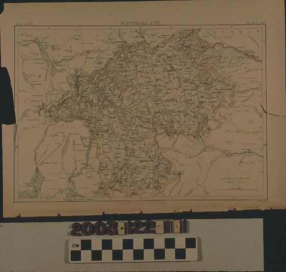
MAP OF WESTMORLAND COUNTY, ENGLANDEntry/Object ID
2003.122.1.1Description
Color: Blue; Red; Yellow; White
A map of Westmorland County, England, ca. 1885. A plate from the ninth edition of the Encyclopaedia Britannica, the map is colored with yellow serving as the boundary color, red being an indicator of rivers, and blue being for bodies of water. Major features include lakes; rivers; mountains; roads; railroad lines; cities, towns, and villages; Roman roads, walls, and ruins; fells; commons; moors; and other features. Of note are Temple Sowerby, the village where William Workman was born, and Clifton, where he spent most of his youth. Westmorland and adjacent Cumberland County (see 1.2) now comprise Cumbria County. Also note that, at the far right, in Yorkshire, is the town of Bowes, where William's sister Mary (1808-1868) was born. With tears and adhesive from the book binding; paper brittleness; creases; browning; a section missing from the left edge, stains, and some tears, the overall condition is fair.Lexicon
Search Terms
Two-dimensional, Maps, Westmorland County (England)