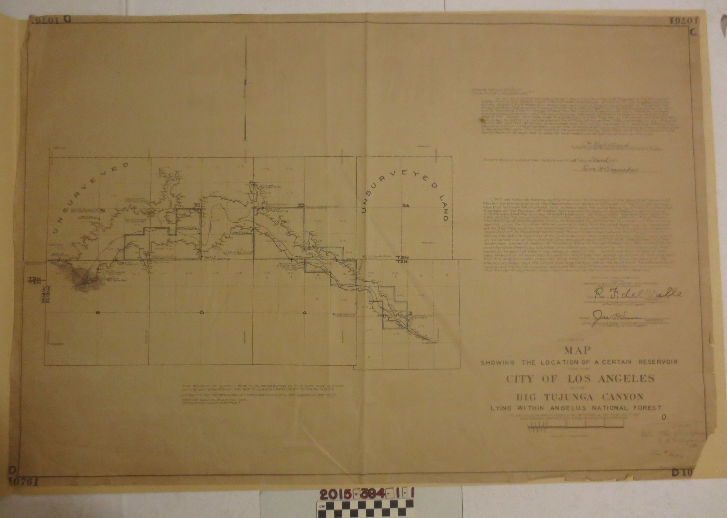
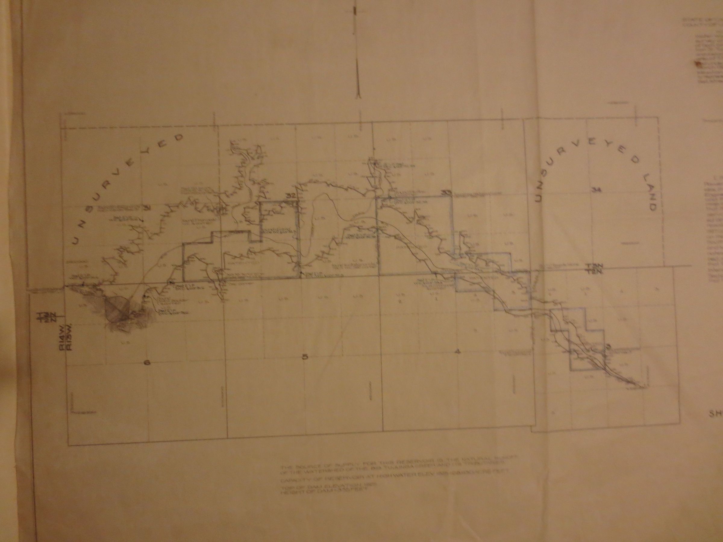
Map, reservoir for Los Angeles in the Big Tujunga Canyon
Entry/Object ID
2015.394.1.1
Description
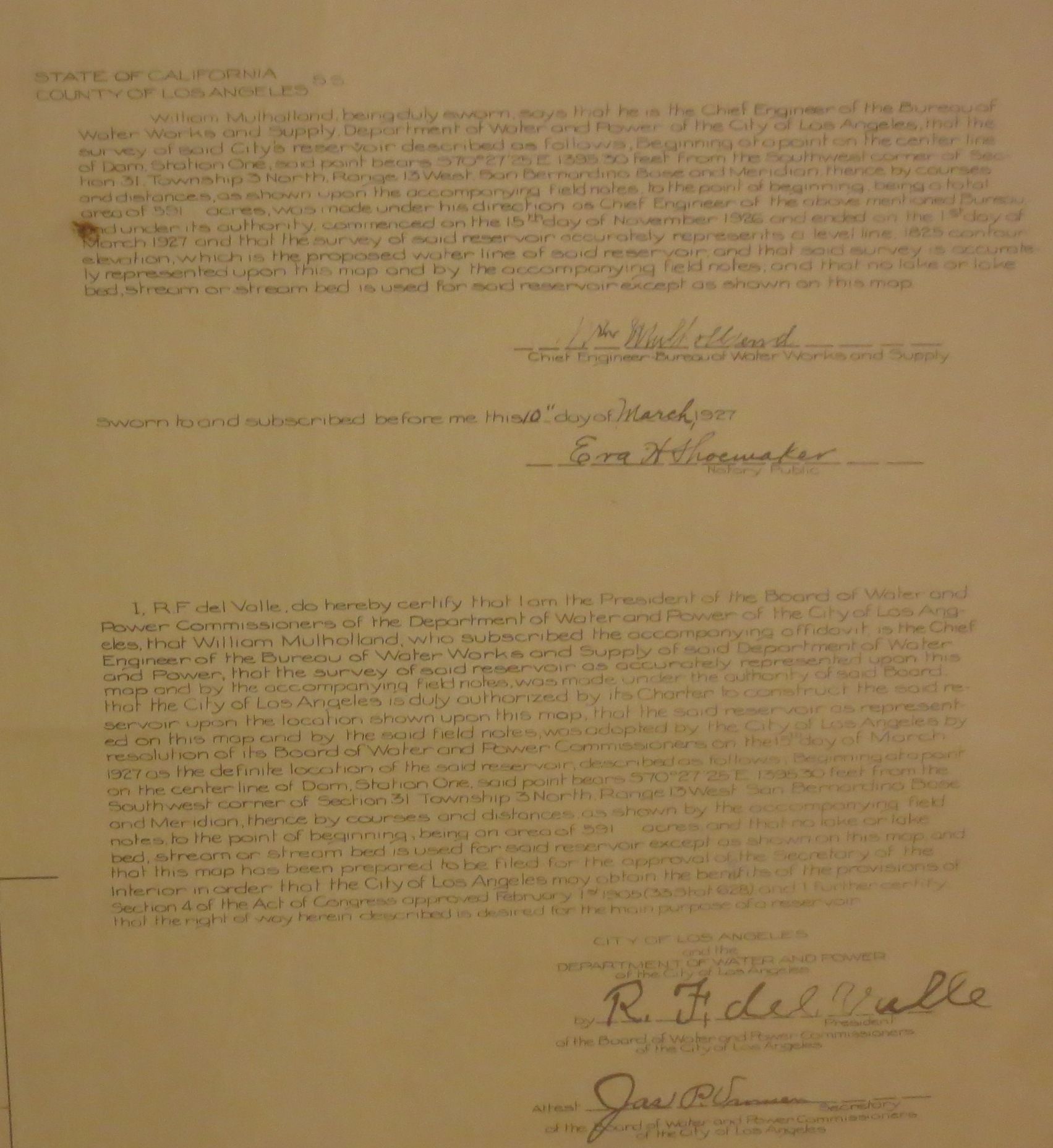
A map, D10761, showing the location of a certain reservoir for the city of Los Angeles in the Big Tujunga Canyon lying within Angelus National Forest. The map was drawn from a survey conducted from 15 November 1926 to 1 March 1927 locating the water supply for this reservoir. The map is signed by the chief engineer, William Mulholland, and notarized on 10 March 1927. The map is generally in fair condition with tattered edges and overall creasing from general use. There is a pencil and ink inscription at the bottom right.