Name/Title
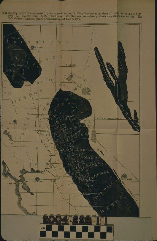
MAP SHOWING 200 GOLD MINES IN CALIFORNIA, 1875Entry/Object ID
2004.228.1.1Description
MAP SHOWING 200 GOLD MINES IN CALIFORNIA, 1875
Color: Black; White
A map of Sierra Nevada gold mines, California, by Amos Bowman, 1875. The image shows the area from Siskiyou County in the north to Fresno County in the south and focuses on the Sierra Nevada range of mountains. Black areas represent slate predominant areas with some granite locations. Mine sites are numbered amongst these slate areas. County lines and names, major cities and towns, rivers and water-courses, mountains, and other features are also identified. At the top is the title and description, while at the bottom left is a scale of miles per inch. With adhesive archival tape at sections of the back, a crease at the upper left corner and some tears to folds, including repaired ones the overall condition is fair.Lexicon
Search Terms
Two-dimensional, Maps, Gold mines and mining--California