Name/Title
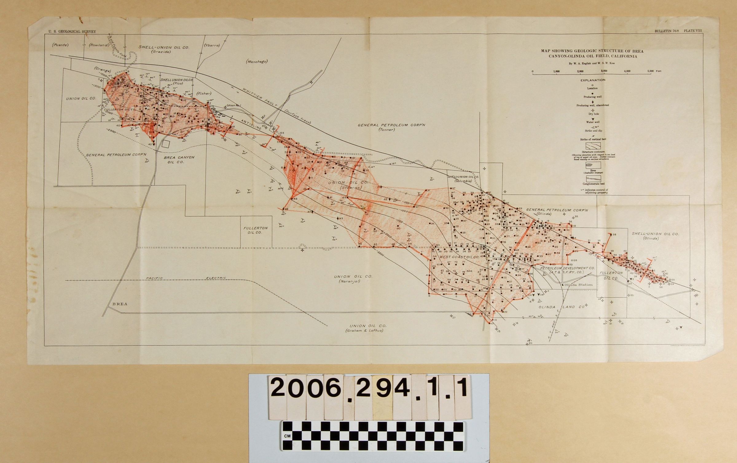
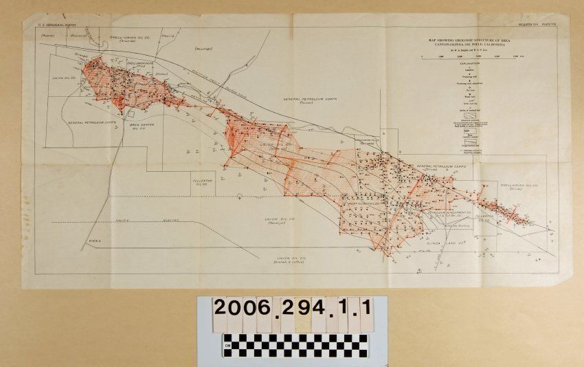
"Map Showing Geologic Structure of Brea Canyon-Olinda Oil Field, California,"Entry/Object ID
2006.294.1.1Description
"Map Showing Geologic Structure of Brea Canyon-Olinda Oil Field, California," by W. A. English and W.S.W. Kew, plate VII of Bulletin 768, U.S. Geological Survey, ca. 1925. The area shown ranges from a road to the "old Puente field," probably modern Puente Avenue in Brea to fields north of modern Carbon Canyon Road in old Olinda. Names of property owners and oil company lessees, locations and numbers of wells, locations of both regular and field roads, and geological information are present. Much of the area has orange-colored markings to define fields. With original folds, tears at two fold intersections, creases, dog-eared corners, and some stains, the overall condition is good.Lexicon
Search Terms
United States. Geological Survey, Petroleum prospecting--California, Southern, Oil fields--California, Southern, Petroleum industry and trade--California, Southern, Petroleum mining--California, Southern