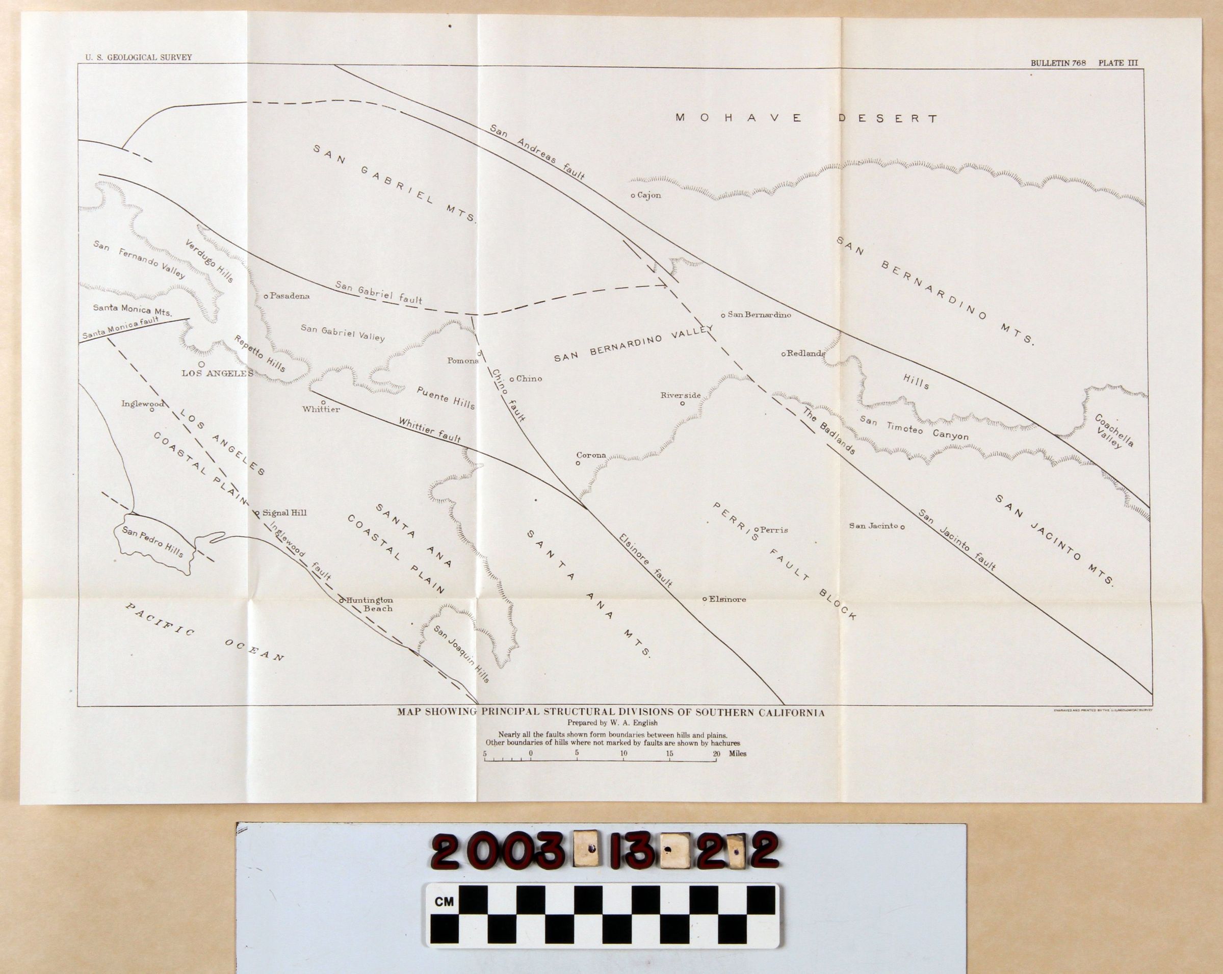
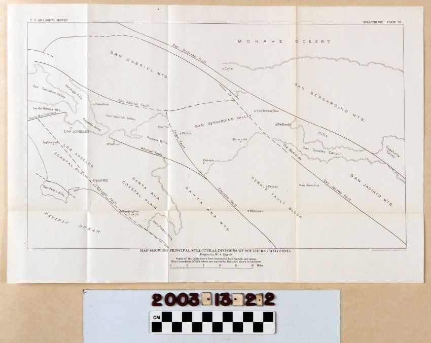
MAP SHOWING PRINCIPAL STRUCTURAL DIVISIONS OF SOUTHERN CALIFORNIA
Entry/Object ID
2003.13.2.2
Description
MAP SHOWING PRINCIPAL STRUCTURAL DIVISIONS OF SOUTHERN CALIFORNIA
Color: Black; White
A map called "Map Showing Principal Structural Divisions of Southern California," plate 3 from Bulletin 768 issued by the U. S. Geological Service, 1926. The map covers a broad swath of land including the San Gabriel, San Bernardino, Santa Ana, and San Jacinto Mountain chains; valleys and coastal plains, several earthquake faults; hill groupings; and some cities and communities. The Pacific Ocean is partially denoted at the lower left. At the bottom is the title, the name of the preparer; a note that faults are boundaries between hills and plains and that those that aren't have boundaries shown in hash marks. There is also a scale of miles there, as well. Other separate plates are items 2.1 and 2.3 through 2.9. Aside from the folds from when the item was stored in the pocket of the bulletin, there is little evidence of wear or damage, and the condition is good.
Lexicon
Search Terms
Two-dimensional, Maps, U. S. Geological Survey, United States. Department of the Interior, Petroleum prospecting--California, Southern, Oil fields--California, Southern, Petroleum industry and trade--California, Southern, Petroleum mining--California, Southern