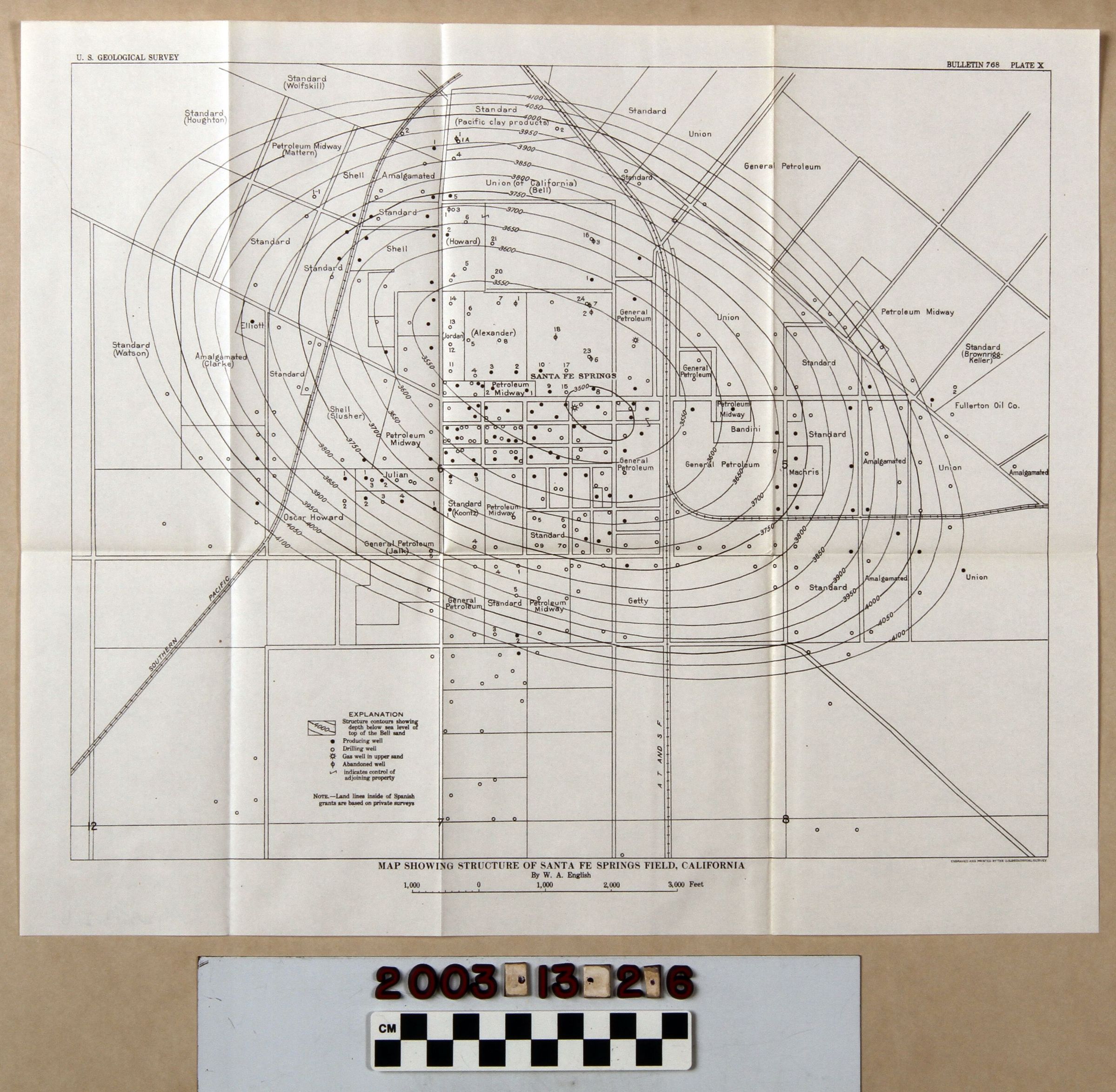
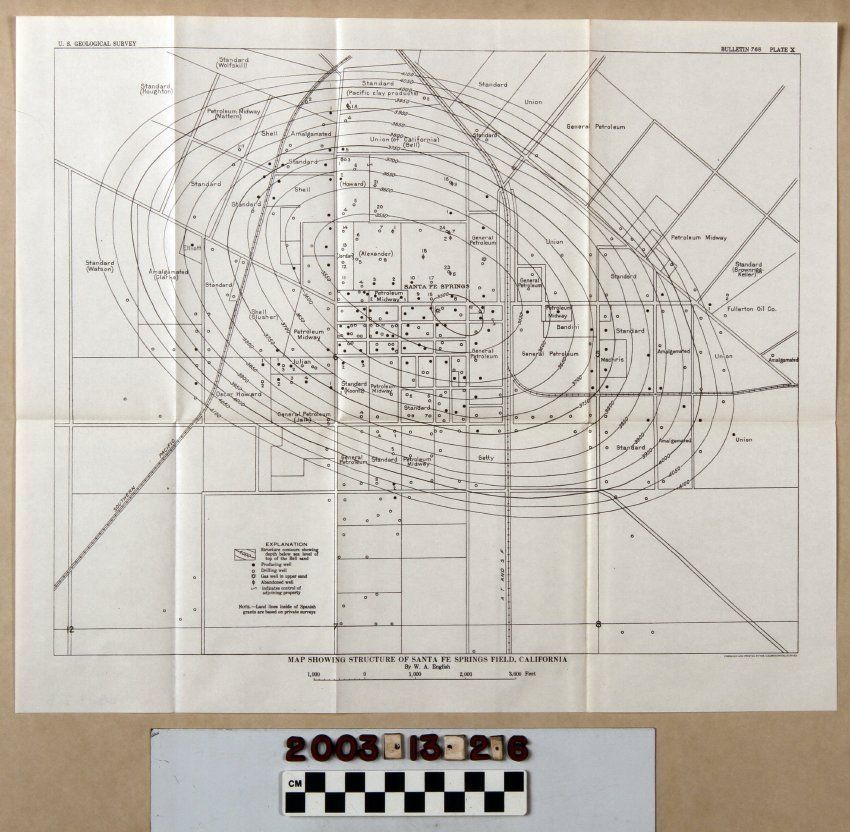
MAP SHOWING STRUCTURE OF SANTA FE SPRINGS FIELD, CALIFORNIA
Entry/Object ID
2003.13.2.6
Description
MAP SHOWING STRUCTURE OF SANTA FE SPRINGS FIELD, CALIFORNIA
Color: Black; White
A map called "Map Showing Structure of Santa Fe Springs Field, California," plate 10 from Bulletin 768 issued by the U. S. Geological Service, 1926. The map shows several oil lease locations and the siting of wells, with these sites having symbols for producing wells; abandoned producers; drilling wells; gas wells in upper sand; structure contours; and to indicate control of adjoining property. Indications of feet above sea level in elevation are also provided. There are some indications of roads, and rail lines. At the bottom, below the title, is a scale. Other separate plates are items 2.1 through 2.5 and 2.7 through 2.9. Aside from the folds from when the item was stored in the pocket of the bulletin, there is little evidence of wear or damage, and the condition is good.
Lexicon
Search Terms
Two-dimensional, Maps, U. S. Geological Survey, United States. Department of the Interior, Petroleum prospecting--California, Southern, Oil fields--California, Southern, Petroleum industry and trade--California, Southern, Petroleum mining--California, Southern