Name/Title
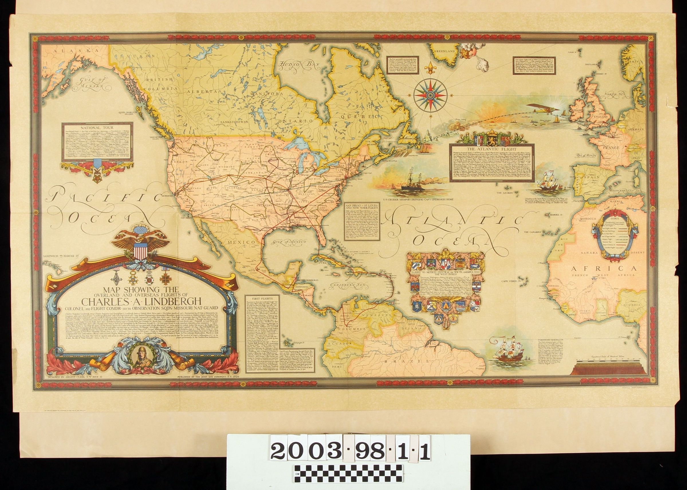
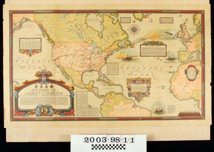
"MAP SHOWING THE OVERLAND AND OVERSEAS FLIGHTS OF CHARLES A. LINDBERGH"Entry/Object ID
2003.98.1.1Description
"MAP SHOWING THE OVERLAND AND OVERSEAS FLIGHTS OF CHARLES A. LINDBERGH"
Color: Black; Brown; Blue; Green; Red; White
A map titled "Map Showing the Overland and Overseas Flights of Charles A. Linidbergh," designed by Ernest Clegg, produced by American Lithographic Co., Inc., and published by The John Day Company, New York, 1928. The ornately designed map has an "Old World" feel to it through the decorative compass next to Labrador and Greenland, the ornate oval index panel on the African continent three smaller panels commemorating Lindbergh's trans-Atlantic flight, his subsequent national tour, his tour of Mexico, Central America, South America, and the West Indies, and, at the bottom left, the main panel with the title, a description of the aforementioned tours, and Lindbergh's image. There are four other boxes that concern his first flights, his flight to New York to begin his trans-Atlantic voyage and two others commemorating other notable aviation events. At the bottom right is a short description next to an image of a galleon concerning Magellan's circumnavigation of the globe in 1522. At the nearby corner is an equitorial scale of nautical miles. Another galleon near Spain commemorates Columbus's voyage to America in 1492 and there is an image of the U. S. cruiser that brought Lindbergh home from France. The map has lines in various colors and forms delineating the routes of his various flights and an image of the "Spirit of St. Louis" is shown near Ireland. The envelope that stored the map is item .2 of this accession. Other than the original folds, there is little or no evidence of wear or damage and the item is in good condition.Lexicon
LOC Thesaurus for Graphic Materials
Maps, Aeronautics, Air pilotsSearch Terms
Two-dimensional, Maps, American Lithographic Co., Inc., John Day Company, Aeronautics--Flights