Name/Title
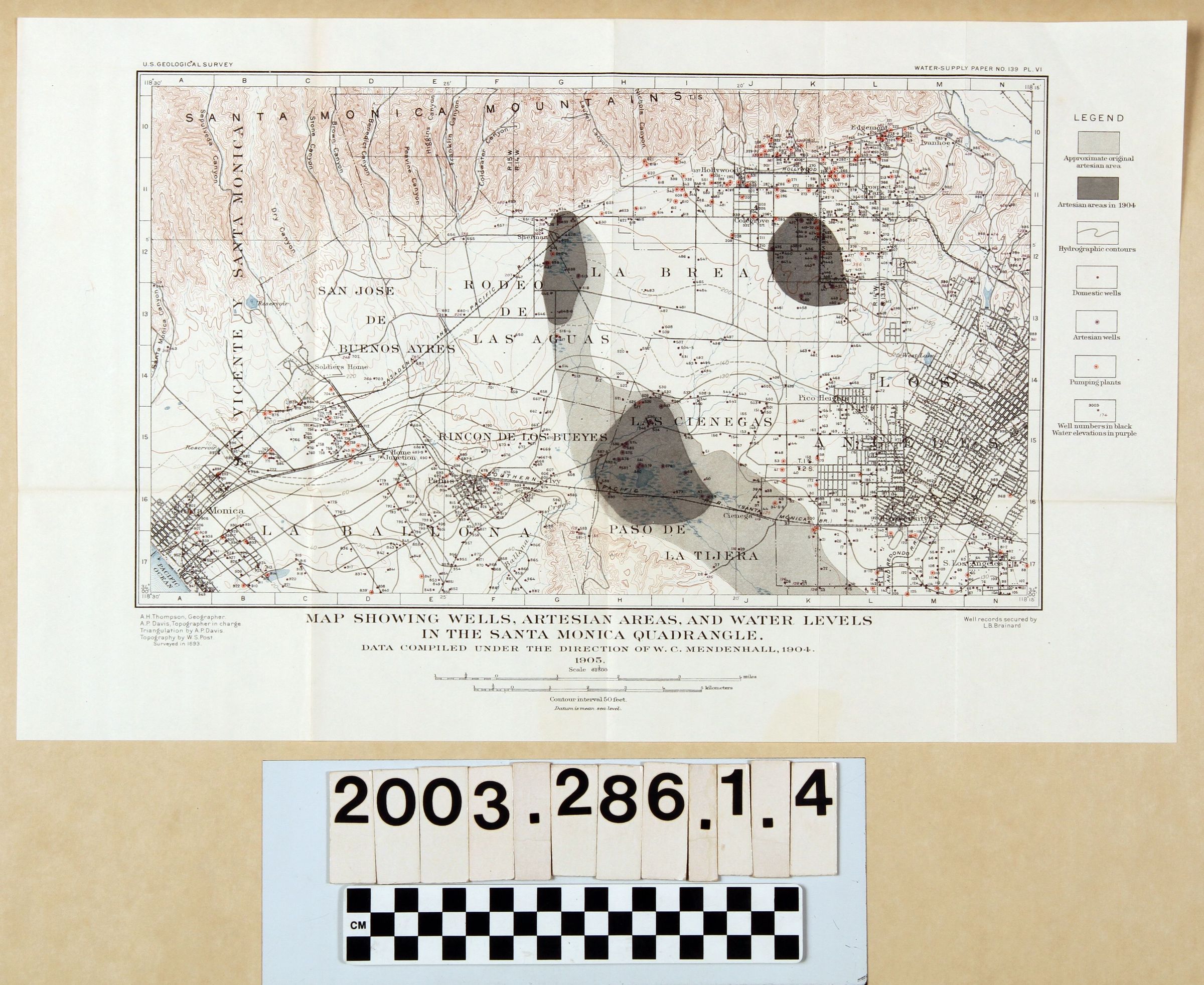
"MAP SHOWING WELLS, ARTESIAN AREAS AND WATER LEVELS IN THE SANTA MONICA QUADRANGLE"Entry/Object ID
2003.286.1.4Description
"MAP SHOWING WELLS, ARTESIAN AREAS AND WATER LEVELS IN THE SANTA MONICA QUADRANGLE"
Color: Black; Brown; Gray; White
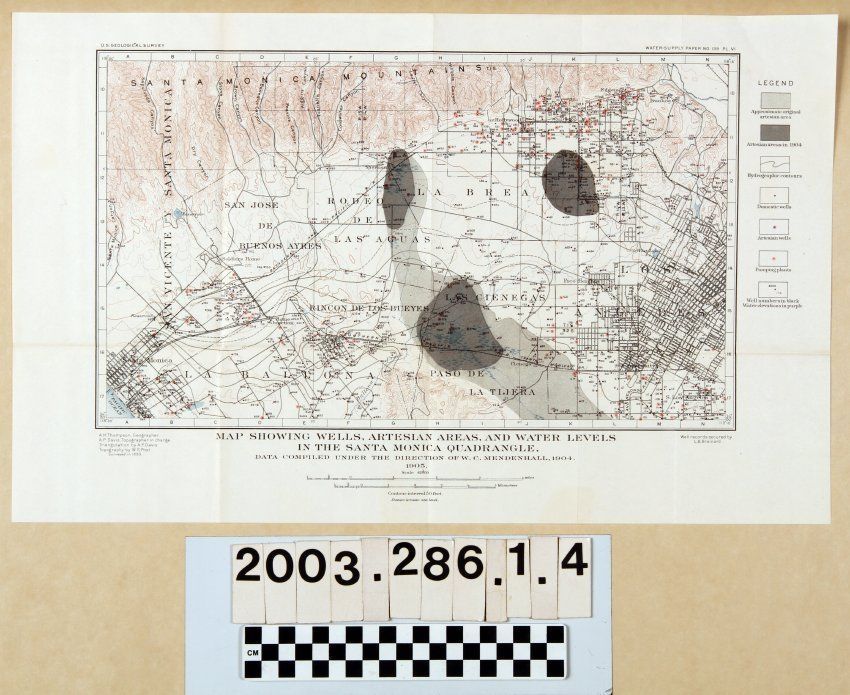
"Map Showing Wells, Artesian Areas, and Water Levels in the Santa Monica Quadrangle," by the U. S. Geological Survey, 1904. The map shows an area from Santa Monica on the west to downtown Los Angeles on the east and from the Santa Monica Mountains on the north to south Los Angeles and the Baldwin Hills on the south. Features as cities and towns, historic rancho names, rivers and lakes, mountain and hill ranges, and other physical indicators are given. But, the subject of the map are areas in shades of gray indicating original and current (as of 1904) artesian areas, as well as blue lines indicating "hydrographic contours;" and numerically-indicated areas for artesian and domestic water wells and pumping plants. Well numbers are in black, while water elevations are in purple. At the bottom is the title and scales in miles and kilometers. Other than the original folds, a crease at the top right corner, and slight paper yellowing, the condition is good.Lexicon
Search Terms
Two-dimensional, Maps, United States. Geological Survey, Artesian basins--California, Southern, Hydrogeology--California, Southern, Hydrography--California, Southern, Wells--Los Angeles County (Calif.)