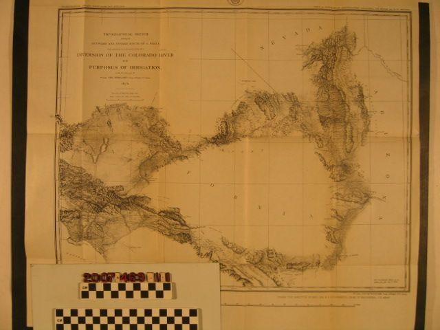
Map, Topographical Sketch Showing the Outward and Inward Route of a Party While Examining as to the Practicability of a Diversion of the Colorado River for the Purposes of Irrigation
Map, "Topographical Sketch Showing the Outward and Inward Route of a Party While Examining as to the Practicability of a Diversion of the Colorado River for the Purposes of Irrigation"
Entry/Object ID
2007.469.1.1
Description
Map, "Topographical Sketch Showing the Outward and Inward Route of a Party While Examining as to the Practicability of a Diversion of the Colorado River for the Purposes of Irrigation," United States Geological Survey, 1875. The item shows the inward route from the Colorado River in southwestern Arizona across to the Los Angeles region and the outward route through Tehachapi and across the Mojave Desert to southern Nevada. Moutains, rivers, roads, rail lines, settlements and towns, passes, and other features are noted. With browning, folds, a crease or two and very light soiling, the map is in good condition.
Lexicon
Search Terms
United States. Department of War. Army. Corps of Engineers