Name/Title
MapsEntry/Object ID
2015.384.2.3Description
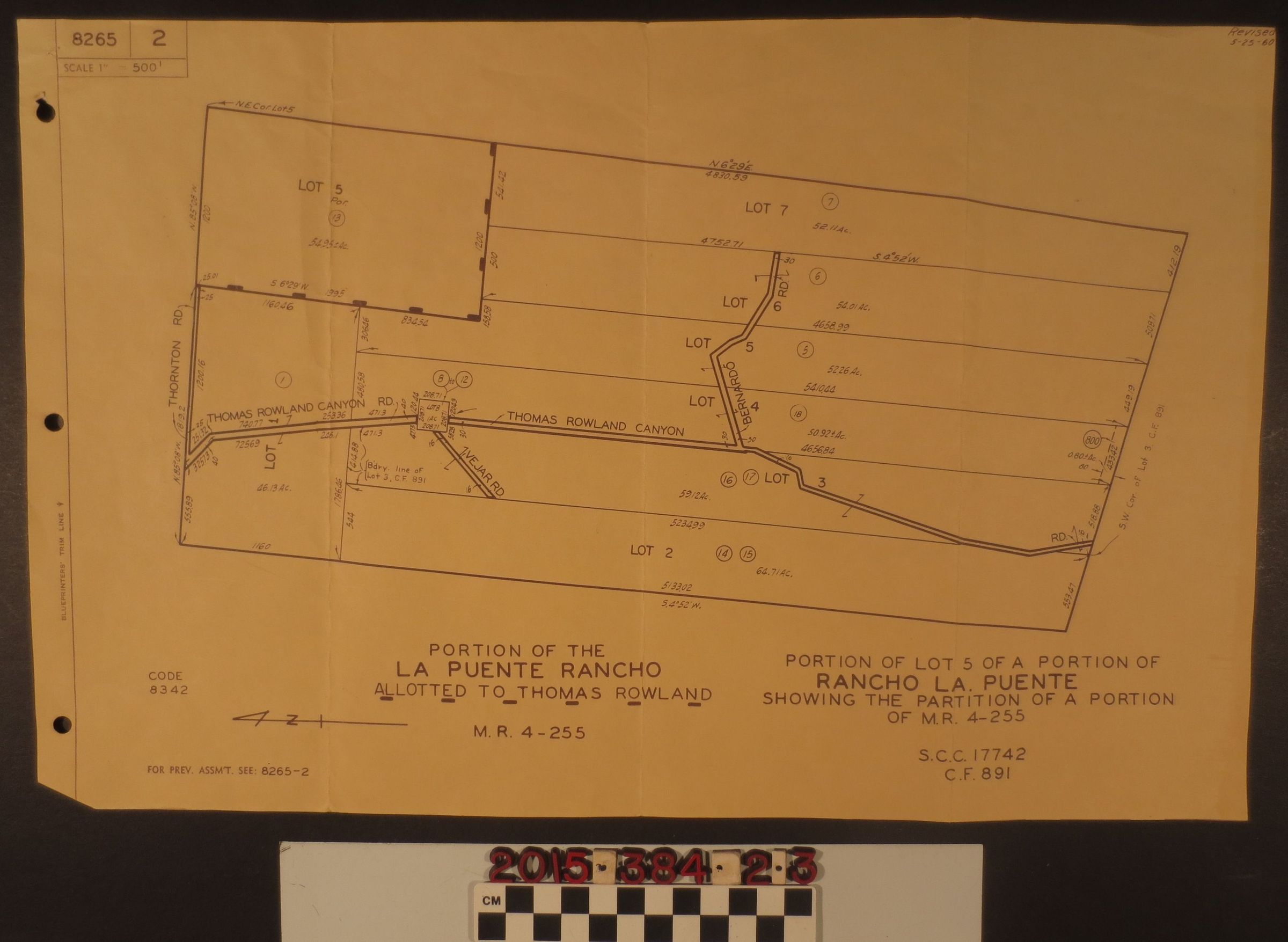
A map of the portion of the La Puente Rancho allotted to Thomas Rowland, M.R. 4-255, revised 25 May '60, presumably 1960. The map depicts the portion of Lot 5 of a portion of Rancho La Puente showing the partition of a portion of M.R. 4-255. Map with coordinates and shows seven separate lots, includes Thornton Rd, Thomas Rowland Canyon Rd, Vejar Rd. The map has three holes to the left, was part of a book of maps. There are also three vertical folds in the map, but it is generally in good condition.