Name/Title
MapsEntry/Object ID
2015.384.2.6Description
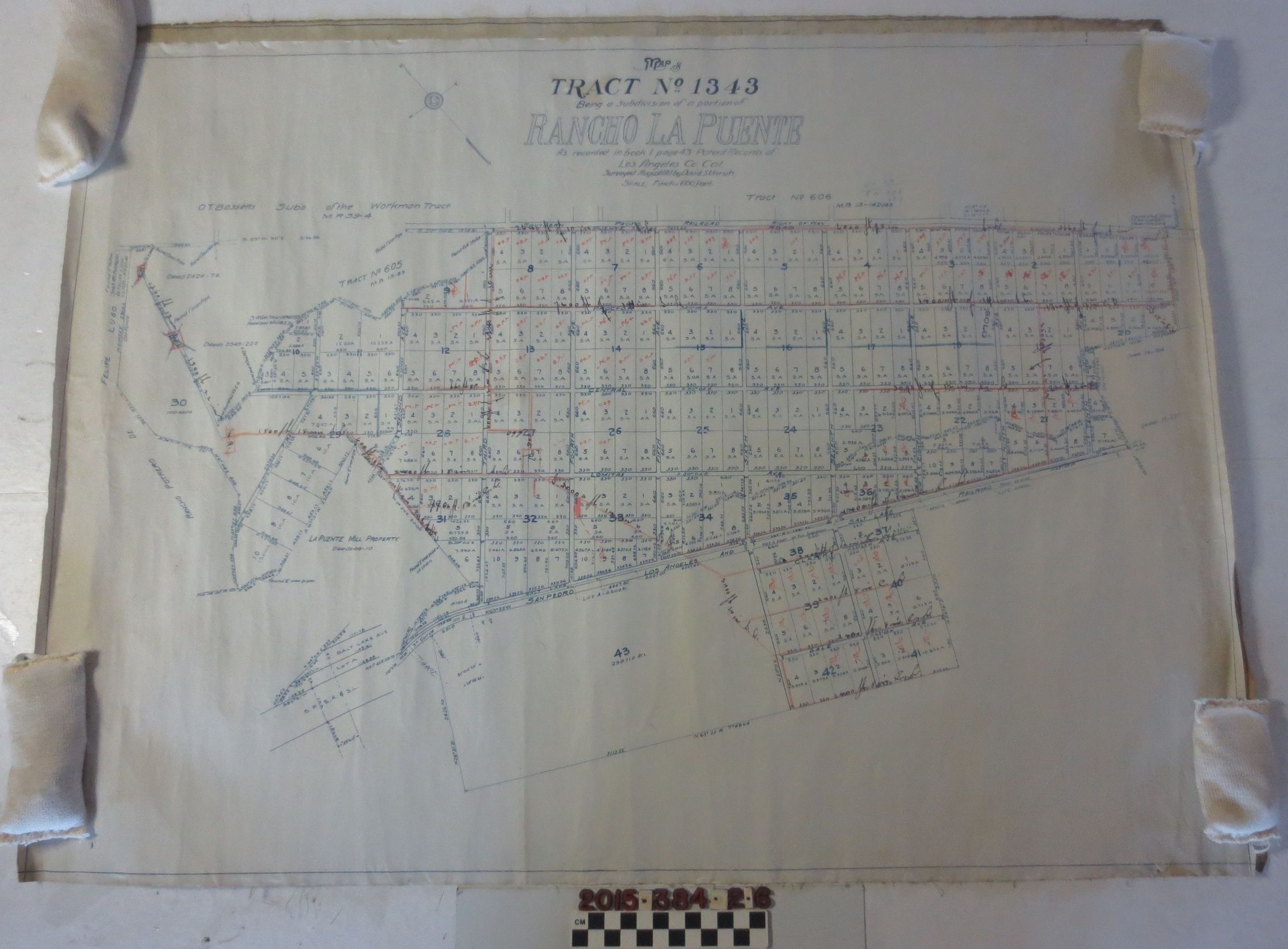
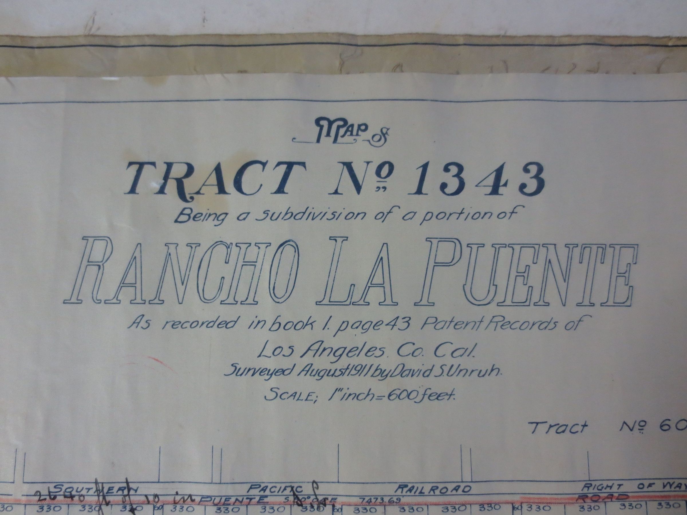
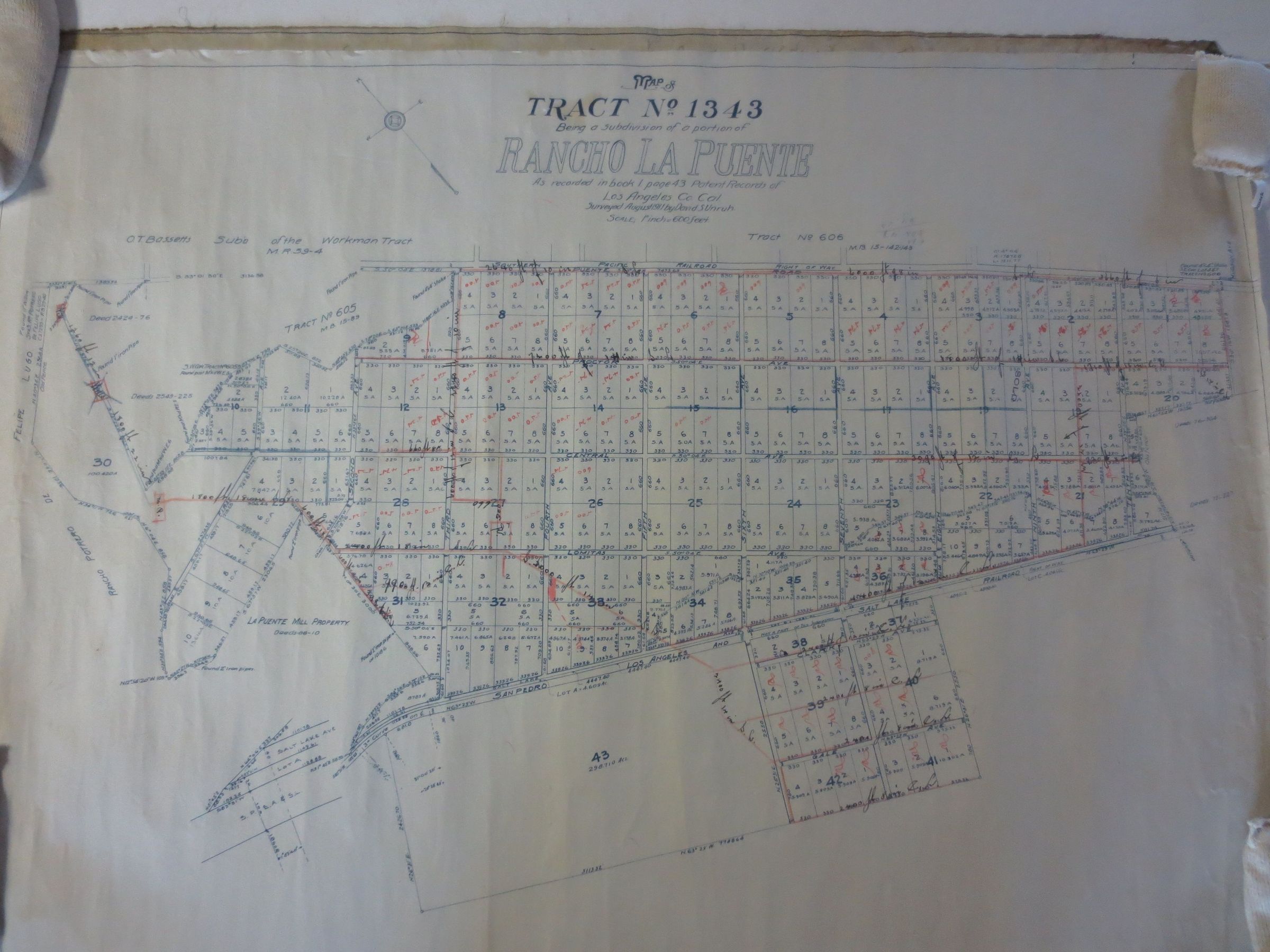
A map of tract no. 1343, a subdivision of a portion of Rancho La Puente, recorded in book 1, page 42 of Los Angeles County Records. The map was surveyed by David S. Unruh, August 1911. The map details O.T. Bassett's subdivision of the Workman tract M.R. 59-4. The map is printed in blue ink on a linen backed paper. It includes the area bordered by: Rancho Potrero de Felipe Lugo to the west, Southern Pacific Railroad to the north, Tenth Avenue to the east and the San Pedro Los Angeles and Salt Lake Railroad to the south. On the land, in between the borders are Proctor, Central, Lomitas, First Street and the La Puente mill property. The map is generally in good condition with moderate surface soiling and staining on the reverse, especially along the left and right edges.