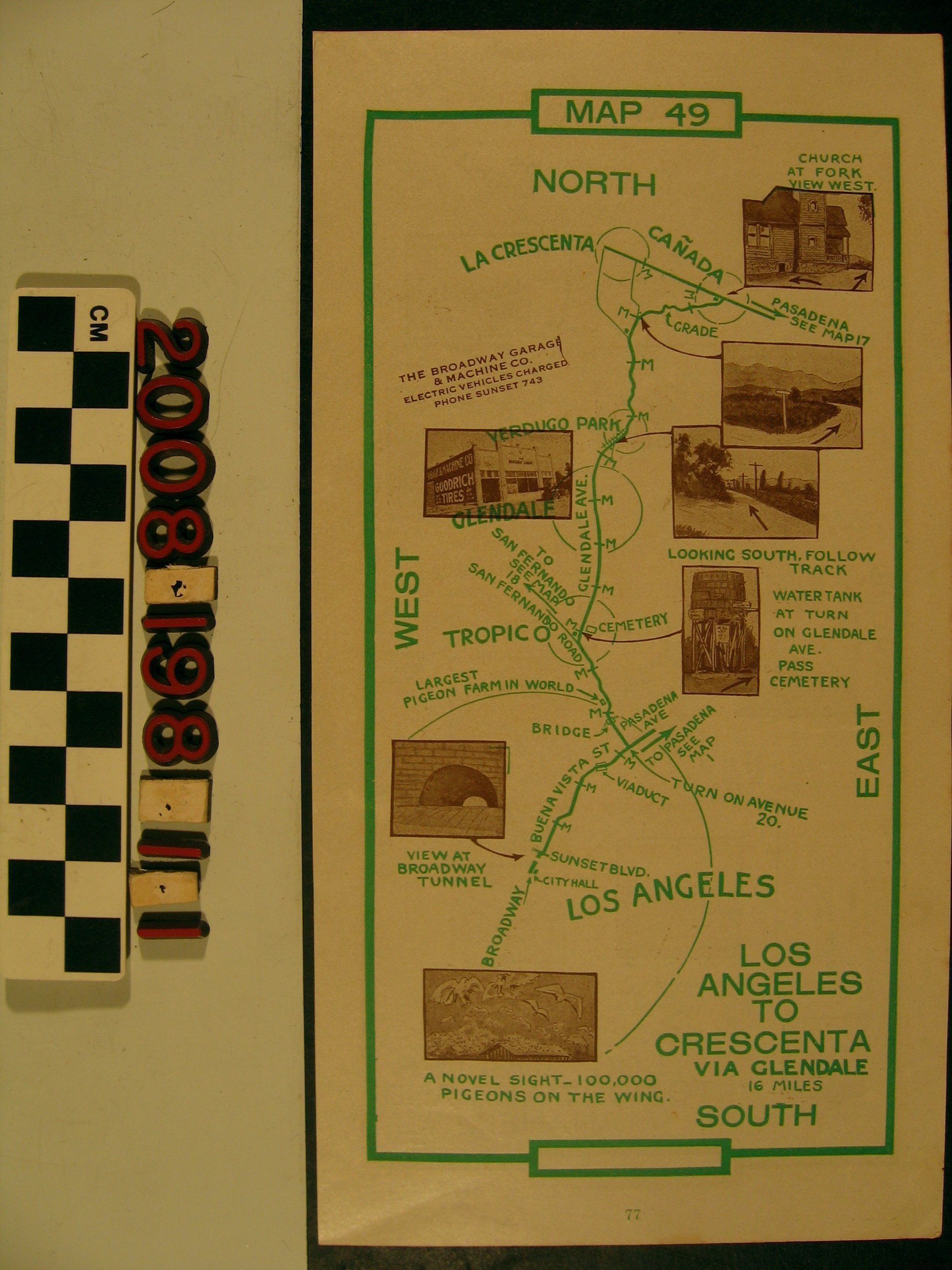
Maps 49-50, showing Los Angeles to Crescenta and Los Angeles to Norwalk and Near Anaheim
Entry/Object ID
2008.198.1.1
Description
Maps 49-50, showing Los Angeles to Crescenta and Los Angeles to Norwalk and Near Anaheim, ca. 1918. The first map leads from Broadway near City Hall to the Crescenta Valley while the other from City Hall to La Habra, Fullerton and Whititer. Mile markers, circles for towns, road markings, references to other maps, and photographs of landmarks along the route are features of the map. There are page numbers at the bottom but no indication these were disbound. With minor creases and light soiling, the condition is good.
Lexicon
Search Terms
California. Department of Public Health. Bureau of Child Hygiene, United States. Department of Labor. Children's Bureau.