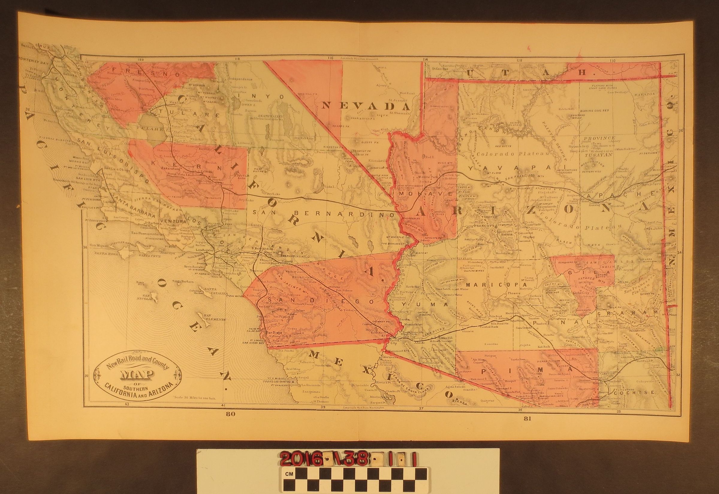
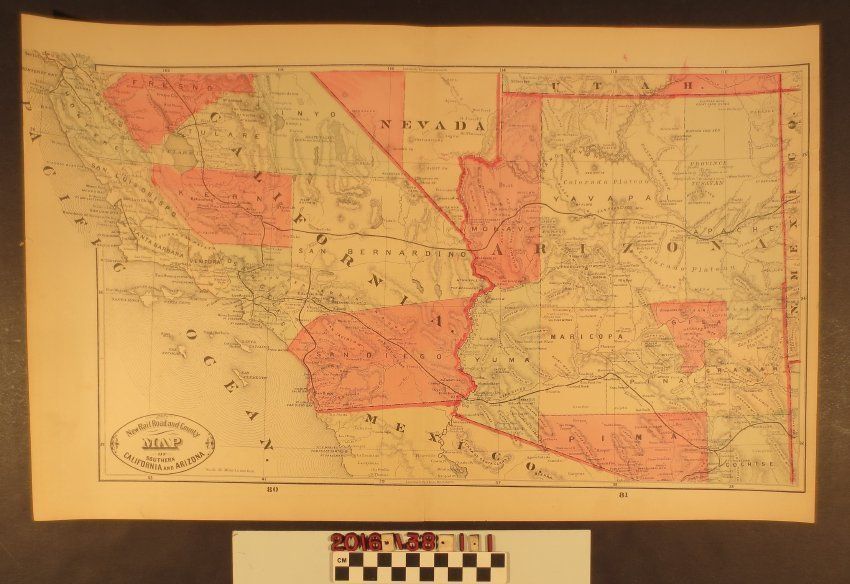
"New Railroad and County Map of Southern California and Arizona"
Entry/Object ID
2016.138.1.1
Description
"New Railroad and County Map of Southern California and Arizona," 1882. The map, removed from a bound volume, depicts the southern portion of California and Ariizona with the railroad routes and major stops. Several counties such as Fresno, Kern and San Diego are highlighted in pink. On the reverse is a map of Alaska. The map is in good condition overall.